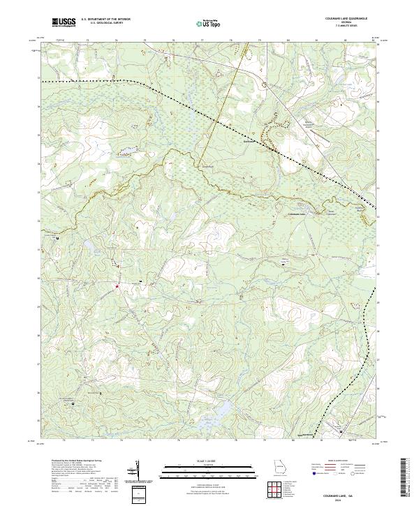
2024 Map of Colemans Lake
USGS Topo · Published 2024About this map
Summertown and Gertrude anchor this rural landscape where the borderlands of Emanuel, Jefferson, and Burke Counties meet. The terrain is defined by the winding course of the Ogeechee River and its numerous tributaries, including Williamson Swamp Creek and Daniels Mill Creek. Several large water bodies like Gambrell Lake and the namesake Colemans Lake are central to the area's geography. Historically significant family and community sites are scattered throughout, including Old Corinth Baptist Church and several small burial grounds such as Greens Cem, Lambs Chapel Cem, and the Coleman Family Cem. The presence of the Midville International Airport near the northern boundary provides a modern contrast to the older agricultural road network, which includes historic routes like Old Savannah Rd and Old Wadley Rd. This survey documents a quiet rural pocket of Georgia, characterized by its creek systems and family landmarks.
Find a feature on this map
65 named features on this map. Tap any name to fly to it.
Don’t see what you’re looking for? This feature index may not catch every label — zoom into the map to look around manually.
Map Details
Editions of this 2024 Colemans Lake Map
This is the sole edition of this map. No revisions or reprints were ever made.
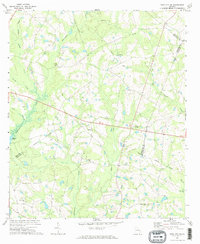
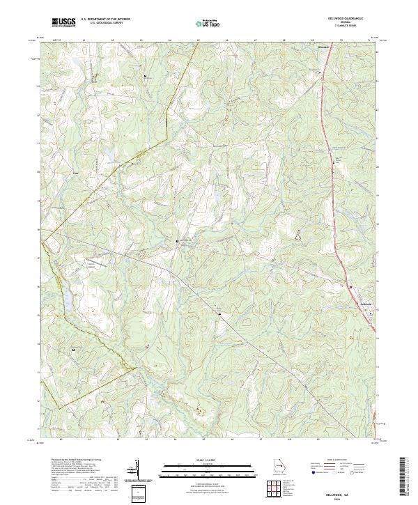
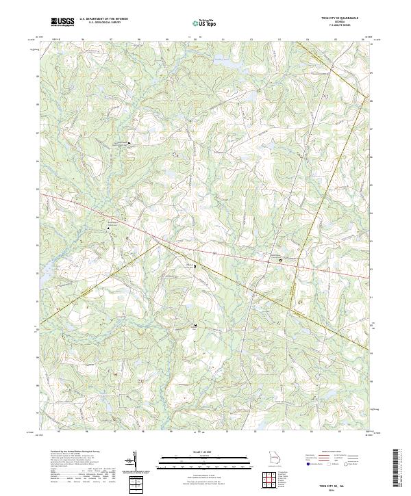
Historical Maps of Colemans Lake Through Time
6 maps found