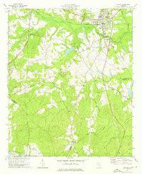
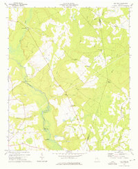
1973 Map of Wadley
USGS Topo · Published 1976About this map
Wadley and Bartow anchor this mid-1970s survey of eastern Georgia, where the Central of Georgia railroad corridor dictates the region's movement and growth. The landscape is defined by the expansive Williamson Swamp Creek and its network of tributaries, including Nails Creek and Rocky Creek. This map reveals a community deeply rooted in its local institutions, evidenced by the numerous country churches such as Blounts Chapel Ch, Live Oak Ch, and Pinetucky Ch that dot the crossroads and rural lanes. A notable geographic feature is the Old Railroad Grade running through the southeast, illustrating how earlier industrial paths were already becoming part of the historic record by this era. The three-way convergence of Jefferson, Johnson, and Emanuel counties in the south further highlights the map's value for documenting boundary shifts and land ownership patterns.
Find a feature on this map
32 named features on this map. Tap any name to fly to it.
Don’t see what you’re looking for? This feature index may not catch every label — zoom into the map to look around manually.
Map Details
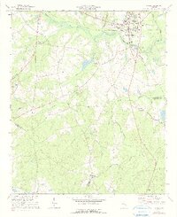
Editions of this 1973 Wadley Map
2 editions found
Other maps of this area

1957 · Macon
USGS Topo · 1:250,000

1958 · Macon
USGS Topo · 1:250,000

1964 · Macon
USGS Topo · 1:250,000

1971 · Dellwood
USGS Topo · 1:24,000

1971 · Summertown
USGS Topo · 1:24,000
1973 · Louisville South
USGS Topo · 1:24,000
1973 · Davisboro SE
USGS Topo · 1:24,000
1973 · Old Town
USGS Topo · 1:24,000

1973 · Colemans Lake
USGS Topo · 1:24,000

1974 · Kite
USGS Topo · 1:24,000