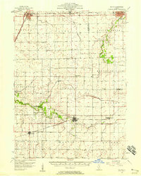
1957 Map of Colfax
USGS Topo · Published 1958About this map
Chenoa stands as a busy rail hub in the mid-1950s, where the Gulf Mobile and Ohio crosses the Toledo Peoria and Western line. This survey captures a rural landscape defined by organized townships and a dense network of country roads connecting small farming communities. To the south, the Illinois Central railroad links Colfax, Cooksville, and Anchor, highlighting the importance of the rail system in moving central Illinois agricultural goods.
Find a feature on this map
46 named features on this map. Tap any name to fly to it.
Don’t see what you’re looking for? This feature index may not catch every label — zoom into the map to look around manually.
Map Details
Editions of this 1957 Colfax Map
This is the sole edition of this map. No revisions or reprints were ever made.
Other maps of this area
1926 · Normal
USGS Topo · 1:62,500
1928 · Gibson City
USGS Topo · 1:62,500
1930 · Normal
USGS Topo · 1:62,500
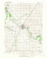
1935 · Pontiac
USGS Topo · 1:62,500
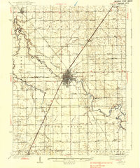
1939 · Pontiac
USGS Topo · 1:62,500
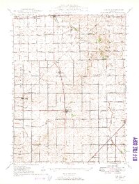
1947 · Sibley
USGS Topo · 1:62,500
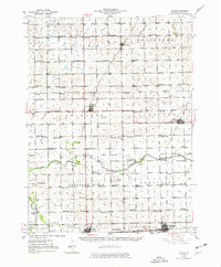
1947 · Cullom
USGS Topo · 1:62,500
1949 · Cullom
USGS Topo · 1:62,500
1949 · Sibley
USGS Topo · 1:62,500
1951 · Le Roy
USGS Topo · 1:62,500