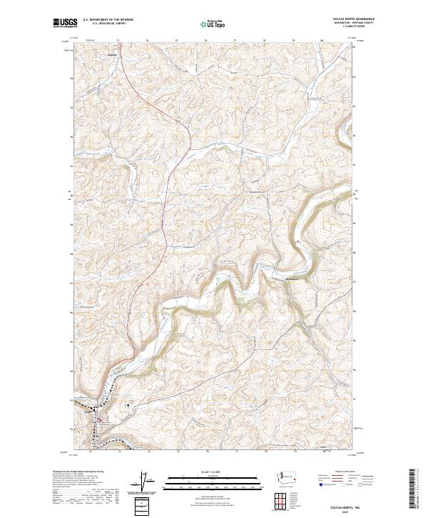
2023 Map of Colfax North
USGS Topo · Published 2023About this map
Colfax serves as the focal point of this Whitman County landscape, situated at the confluence where the South Fork Palouse River meets the main Palouse River channel. The map details the transition from the concentrated civic life of the county seat, home to the Whitman County Courthouse and Colfax Cemetery, to the surrounding agricultural uplands. Northward, the small settlements of Steptoe and Glenwood punctuate a terrain defined by deep drainages like Buck Canyon and the winding course of Dry Creek. The network of section-line roads, such as Hilty Road and Mullen Road, underscores the enduring grid of the Palouse hills. This modern survey reflects the continuity of these rural communities, where the road names often reflect local lineage and the natural hydrology dictates the placement of settlements and transport corridors in this grain-growing region.
Find a feature on this map
56 named features on this map. Tap any name to fly to it.
Don’t see what you’re looking for? This feature index may not catch every label — zoom into the map to look around manually.
Map Details
Editions of this 2023 Colfax North Map
This is the sole edition of this map. No revisions or reprints were ever made.
Other maps of this area

1903 · Oakesdale
USGS Topo · 1:125,000

1905 · Oakesdale
USGS Topo · 1:125,000

1910 · Pullman
USGS Topo · 1:125,000

1955 · Pullman
USGS Topo · 1:250,000

1955 · Spokane
USGS Topo · 1:250,000

1958 · Spokane
USGS Topo · 1:250,000

1958 · Pullman
USGS Topo · 1:250,000

1964 · Diamond
USGS Topo · 1:24,000

1964 · Elberton
USGS Topo · 1:24,000

1964 · Colfax North
USGS Topo · 1:24,000