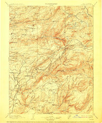
1902 Map of Colfax
USGS Topo · Published 1910About this map
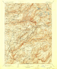
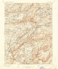
Malakoff Mine and the massive hydraulic operations of North Bloomfield dominate the northern landscape of this survey, conducted as the Gold Rush era transitioned into established mountain industry. The map meticulously documents the rugged Gold Country terrain where the Middle Fork Yuba River and North Fork American River carve through the Sierra foothills. Central to the region's commerce is the Southern Pacific Railroad, winding its way past mining settlements like Dutch Flat, Gold Run, and Alta.
Find a feature on this map
221 named features on this map. Tap any name to fly to it.
Don’t see what you’re looking for? This feature index may not catch every label — zoom into the map to look around manually.
Map Details
Editions of this 1902 Colfax Map
7 editions found

Other maps of this area

1888 · Smartsville
USGS Topo · 1:125,000

1888 · Bidwell Bar
USGS Topo · 1:125,000

1889 · Pyramid Peak
USGS Topo · 1:125,000

1890 · Sierraville
USGS Topo · 1:125,000

1891 · Bidwell Bar
USGS Topo · 1:125,000

1891 · Downieville
USGS Topo · 1:125,000

1891 · Sacramento
USGS Topo · 1:125,000

1891 · Colfax
USGS Topo · 1:125,000

1891 · Truckee
USGS Topo · 1:125,000

1891 · Smartsville
USGS Topo · 1:125,000