
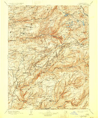
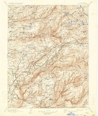
1902 Map of Colfax
USGS Topo · Published 1902About this map
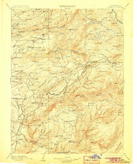
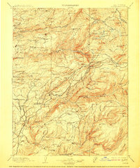
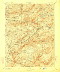
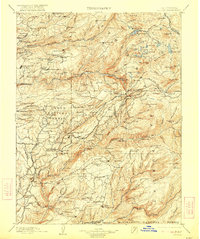
Gold mining operations and timber mills dominate this turn-of-the-century landscape within the Sierra Nevada mountains. The map reveals a dense network of early California hydraulic and hard-rock mining sites, most notably at the Malakoff Ravine near North Bloomfield. Several large-scale mines are identified, including the Alaska Mine, Delhi Mine, and the Derbec Mine, highlighting the industrial scale of extraction during this era.
Find a feature on this map
202 named features on this map. Tap any name to fly to it.
Don’t see what you’re looking for? This feature index may not catch every label — zoom into the map to look around manually.
Map Details
Editions of this 1902 Colfax Map
7 editions found
Other maps of this area

1888 · Smartsville
USGS Topo · 1:125,000

1888 · Bidwell Bar
USGS Topo · 1:125,000

1889 · Pyramid Peak
USGS Topo · 1:125,000

1890 · Sierraville
USGS Topo · 1:125,000

1891 · Bidwell Bar
USGS Topo · 1:125,000

1891 · Downieville
USGS Topo · 1:125,000

1891 · Sacramento
USGS Topo · 1:125,000

1891 · Colfax
USGS Topo · 1:125,000

1891 · Truckee
USGS Topo · 1:125,000

1891 · Smartsville
USGS Topo · 1:125,000