
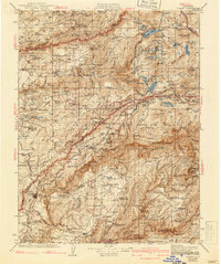
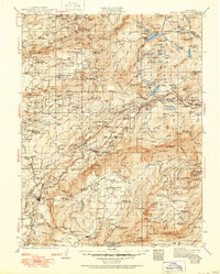
1938 Map of Colfax
USGS Topo · Published 1938About this map
Tahoe National Forest and Eldorado National Forest dominate this landscape, where the Sierra Nevada's deep river canyons shaped a complex network of 1930s resource extraction and early mountain infrastructure. The Middle Fork Yuba River and South Fork Yuba River cut through the terrain, flanked by significant mining operations like the Sixteen to One Mine and Spanish Mine. Smaller settlements and worker outposts such as Graniteville, Lake City, and Relief are scattered along the ridges, connected by roads that navigate around landmarks like Lovers Leap and Giant Gap.
Find a feature on this map
196 named features on this map. Tap any name to fly to it.
Don’t see what you’re looking for? This feature index may not catch every label — zoom into the map to look around manually.
Map Details
Editions of this 1938 Colfax Map
3 editions found
Other maps of this area

1888 · Smartsville
USGS Topo · 1:125,000

1888 · Bidwell Bar
USGS Topo · 1:125,000

1889 · Pyramid Peak
USGS Topo · 1:125,000

1890 · Sierraville
USGS Topo · 1:125,000

1891 · Bidwell Bar
USGS Topo · 1:125,000

1891 · Downieville
USGS Topo · 1:125,000

1891 · Sacramento
USGS Topo · 1:125,000

1891 · Colfax
USGS Topo · 1:125,000

1891 · Truckee
USGS Topo · 1:125,000

1891 · Smartsville
USGS Topo · 1:125,000