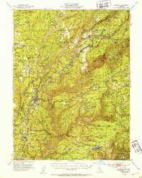
1950 Map of Colfax
USGS Topo · Published 1953About this map
Gold Rush history and mountain transit routes dominate this mid-century survey of the Sierra Nevada foothills. The Southern Pacific railroad snakes through the landscape, serving long-established mining towns and small rural settlements like Colfax, Gold Run, and Dutch Flat. The map reveals a region still deeply tied to its extraction roots, marking numerous active and historical sites such as the Empire Mine, Lava Cap Mine, and the Dutch Flat Diggings. Geologic and historical markers are abundant, including several Donner Trail Marker locations that trace the path of early emigrant travel.
Find a feature on this map
161 named features on this map. Tap any name to fly to it.
Don’t see what you’re looking for? This feature index may not catch every label — zoom into the map to look around manually.
Map Details
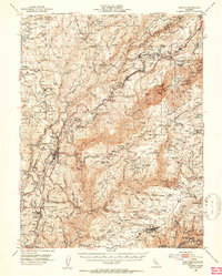
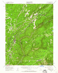
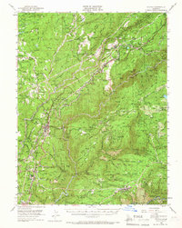
Editions of this 1950 Colfax Map
4 editions found
Other maps of this area

1888 · Smartsville
USGS Topo · 1:125,000

1891 · Sacramento
USGS Topo · 1:125,000

1891 · Colfax
USGS Topo · 1:125,000

1891 · Smartsville
USGS Topo · 1:125,000

1891 · Placerville
USGS Topo · 1:125,000

1892 · Sacramento
USGS Topo · 1:125,000

1892 · Placerville
USGS Topo · 1:125,000

1892 · Smartsville
USGS Topo · 1:125,000

1892 · Colfax
USGS Topo · 1:125,000

1893 · Placerville
USGS Topo · 1:125,000