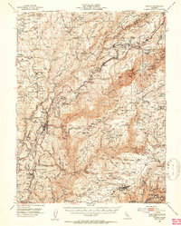
1950 Map of Colfax
USGS Topo · Published 1953About this map
The Southern Pacific railroad corridor anchors this mid-century look at the Sierra Nevada foothills, tracing a path through Colfax and Dutch Flat during a period of industrial transition. The landscape is heavily marked by the legacy of hydraulic and hard-rock mining, with numerous diggings such as the Blue Devil Diggings and Christmas Hill Diggings scattered along the ridges. The map captures critical historic locations, including the Illinoistown (Site) and Secret Town (Site), providing evidence of earlier Gold Rush settlements that had evolved or diminished by the 1940s. The deep canyons of the North Fork American River and the Middle Fork American River dominate the topography, while the Tahoe National Forest encompasses the eastern reaches. Local infrastructure, from the Dutch Flat Powerhouse to the Lava Cap Lookout, illustrates the region's mid-century management of water, power, and timber resources.
Find a feature on this map
170 named features on this map. Tap any name to fly to it.
Don’t see what you’re looking for? This feature index may not catch every label — zoom into the map to look around manually.
Map Details
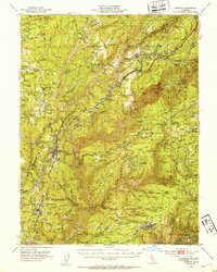
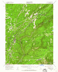
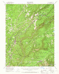
Editions of this 1950 Colfax Map
4 editions found
Other maps of this area

1888 · Smartsville
USGS Topo · 1:125,000

1891 · Sacramento
USGS Topo · 1:125,000

1891 · Colfax
USGS Topo · 1:125,000

1891 · Smartsville
USGS Topo · 1:125,000

1891 · Placerville
USGS Topo · 1:125,000

1892 · Sacramento
USGS Topo · 1:125,000

1892 · Placerville
USGS Topo · 1:125,000

1892 · Smartsville
USGS Topo · 1:125,000

1892 · Colfax
USGS Topo · 1:125,000

1893 · Placerville
USGS Topo · 1:125,000