
1967 Map of Colgate
USGS Topo · Published 1969About this map
Colgate and the nearby siding at Walden anchor this 1960s landscape, illustrating the critical role of rail transport in the North Dakota plains. The Great Northern railroad cuts a diagonal path across the terrain, connecting these small settlements to the broader agricultural market. The meandering Maple River provides the primary drainage, winding through the townships of Ellsbury, Rochester, and Carpenter.
Find a feature on this map
15 named features on this map. Tap any name to fly to it.
Don’t see what you’re looking for? This feature index may not catch every label — zoom into the map to look around manually.
Map Details
Editions of this 1967 Colgate Map
This is the sole edition of this map. No revisions or reprints were ever made.
Other maps of this area

1952 · Grand Forks
USGS Topo · 1:250,000

1956 · Grand Forks
USGS Topo · 1:250,000

1966 · Grand Forks
USGS Topo · 1:250,000

1966 · Hope SE
USGS Topo · 1:24,000

1967 · Pillsbury SE
USGS Topo · 1:24,000

1967 · Page SE
USGS Topo · 1:24,000

1967 · Page
USGS Topo · 1:24,000
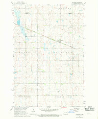
1967 · Pillsbury
USGS Topo · 1:24,000
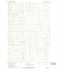
1967 · Page SW
USGS Topo · 1:24,000

1967 · Luverne SE
USGS Topo · 1:24,000
Featured Places
- Colgate Township, ND
- Lake Township, ND
- Ellsbury Township, ND
- Minnie Lake Township, ND
- Carpenter Township, ND