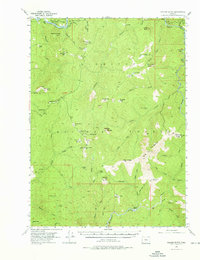
1954 Map of Collier Butte
USGS Topo · Published 1976About this map
Siskiyou National Forest dominates this mid-century landscape in the Klamath Mountains, where the drainage of the Rogue River and Illinois River meets a network of remote fire lookouts and seasonal cabins. The terrain is defined by steep ridges and high prairies, such as Wildhorse Prairie and High Prairie, which were accessed via an extensive system of pack trails and the Gold Beach-Agness Road. Grounded in a 1952 aerial survey, the map shows several isolated homesteads and forest service outposts, including Tolman Ranch on the Chetco River and the Mistatnah Lookout, which is already noted as abandoned by the mid-1950s. This survey records a specific era of mountain stewardship, marked by lookouts like Game Lake Lookout and Snow Camp Lookout that monitored the dense timberlands before modern reforestation and fire management practices fully transformed the backcountry access.
Find a feature on this map
67 named features on this map. Tap any name to fly to it.
Don’t see what you’re looking for? This feature index may not catch every label — zoom into the map to look around manually.
Map Details
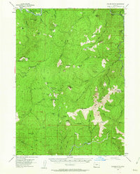
Editions of this 1954 Collier Butte Map
3 editions found

Other maps of this area

1899 · Port Orford
USGS Topo · 1:125,000

1903 · Port Orford
USGS Topo · 1:125,000

1917 · Kerby
USGS Topo · 1:125,000

1918 · Kerby
USGS Topo · 1:125,000

1945 · Kerby
USGS Topo · 1:125,000

1954 · Coos Bay
USGS Topo · 1:250,000

1954 · Marial
USGS Topo · 1:62,500

1954 · Cape Ferrelo
USGS Topo · 1:62,500

1954 · Port Orford
USGS Topo · 1:62,500

1954 · Chetco Peak
USGS Topo · 1:62,500