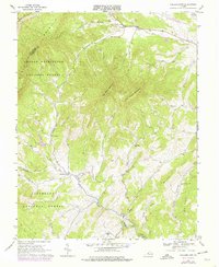
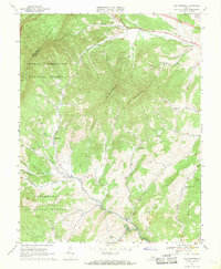
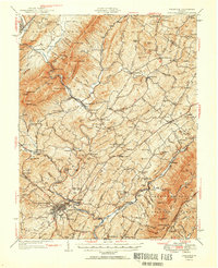
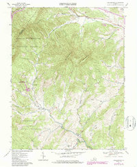
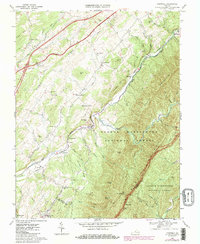
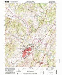
1967 Map of Collierstown
USGS Topo · Published 1978About this map
Big House Mountain and Little House Mountain dominate this part of the Virginia landscape, standing as prominent sentinels between the forks of several local waterways. The settlement at Collierstown serves as a central point where Colliers Creek meets the valley floor, while further east, the small community of Effinger is situated along the banks of Buffalo Creek. This area of Rockbridge County exhibits a pattern of small, valley-bottom settlements and upland forests, with the George Washington National Forest and Jefferson National Forest covering the higher elevations. Rural life is anchored by local landmarks such as Kerrs Creek Ch, Mt Moreland Ch, and family resting places like Hartberger Cem. A pipeline and various jeep trails suggest the early modern infrastructure threading through these ancient ridges, providing a detailed look at the 1960s rural infrastructure before later development.
Find a feature on this map
34 named features on this map. Tap any name to fly to it.
Don’t see what you’re looking for? This feature index may not catch every label — zoom into the map to look around manually.
Map Details
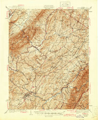
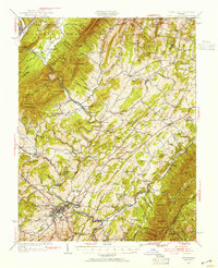
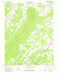
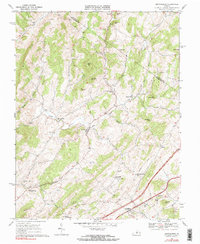
Editions of this 1967 Collierstown Map
3 editions found
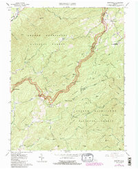
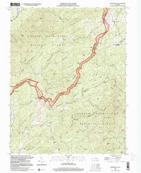
Historical Maps of Effinger Through Time
20 maps found

1932 Lexington
Rockbridge County, VA
1937 Lexington
Rockbridge County, VA
1950 Lexington
Rockbridge County, VA
1951 Lexington
Rockbridge County, VA
1961 Natural Bridge
Rockbridge County, VA
1965 Montebello
Rockbridge County, VA
1967 Brownsburg
Rockbridge County, VA
1967 Collierstown
Rockbridge County, VA
1967 Cornwall
Rockbridge County, VA

1967 Lexington
Rockbridge County, VA
1977 Lexington
Rockbridge County, VA
1986 Buena Vista
Rockbridge County, VA
1999 Lexington
Rockbridge County, VA
1999 Montebello
Rockbridge County, VA
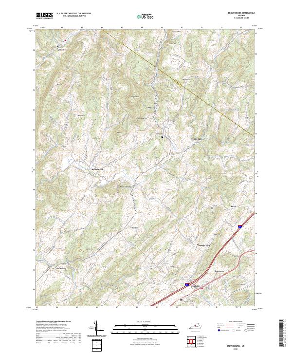
2022 Brownsburg
Rockbridge County, VA
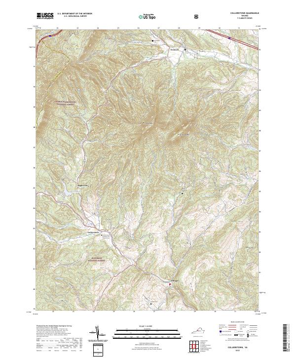
2022 Collierstown
Rockbridge County, VA
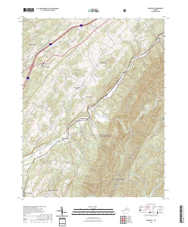
2022 Cornwall
Rockbridge County, VA
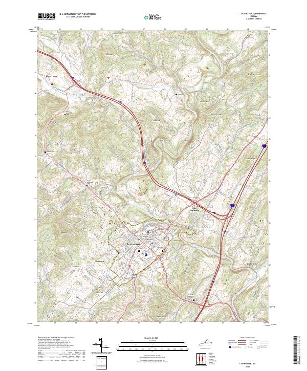
2022 Lexington
Rockbridge County, VA
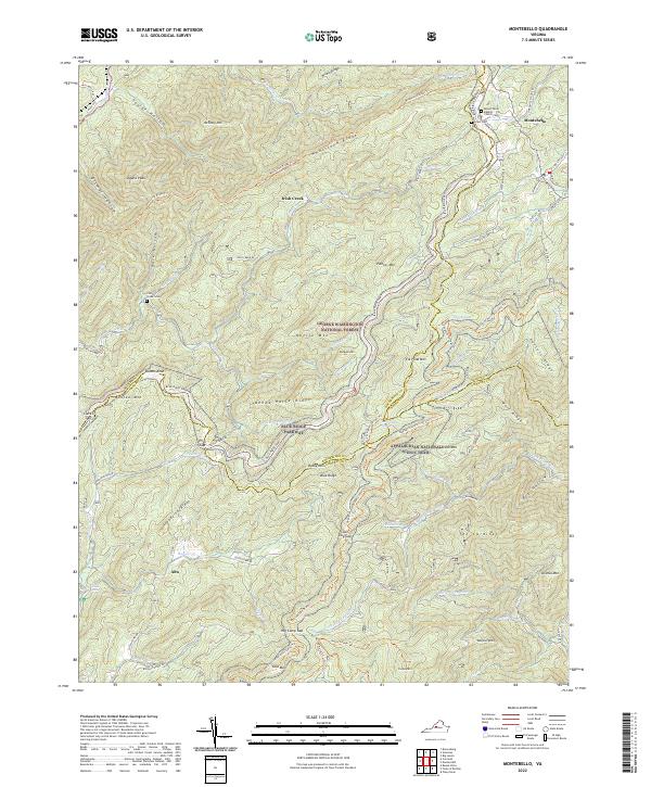
2022 Montebello
Rockbridge County, VA
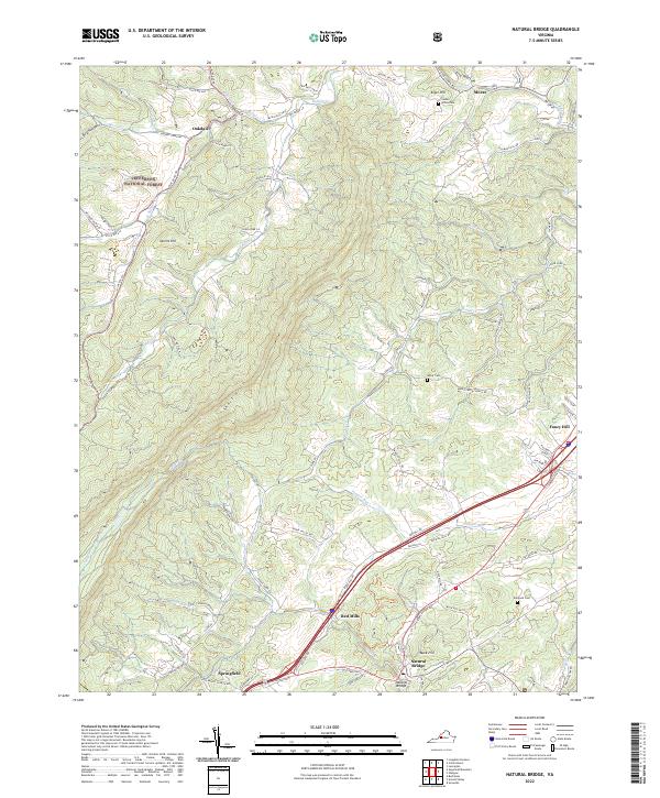
2022 Natural Bridge
Rockbridge County, VA