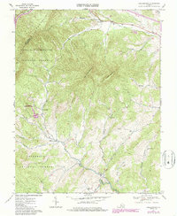
1967 Map of Collierstown
USGS Topo · Published 1986About this map
Collierstown and its surrounding mountain gaps define this mid-1960s survey of Rockbridge County. The landscape is dominated by the massive profiles of Big House Mountain and Little House Mountain, which tower over small farming communities and creek-side settlements like Waterloo and Denmark. Water remains the central organizing force for human activity, with Colliers Creek and Buffalo Creek carving paths through the terrain to support small centers like Effinger.
Find a feature on this map
36 named features on this map. Tap any name to fly to it.
Don’t see what you’re looking for? This feature index may not catch every label — zoom into the map to look around manually.
Map Details
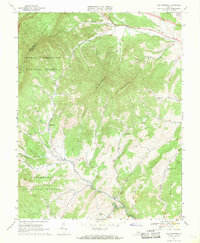
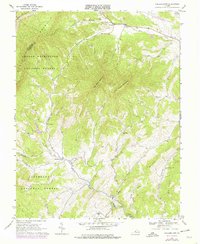
Editions of this 1967 Collierstown Map
3 editions found
Other maps of this area

1894 · Natural Bridge
USGS Topo · 1:125,000

1894 · Lexington
USGS Topo · 1:125,000

1894 · Natural Bridge
USGS Topo · 1:62,500

1907 · Natural Bridge Special
USGS Topo · 1:62,500

1932 · Lexington
USGS Topo · 1:48,000

1935 · Buena Vista
USGS Topo · 1:48,000

1937 · Lexington
USGS Topo · 1:62,500

1939 · Buena Vista
USGS Topo · 1:62,500

1940 · Buena Vista
USGS Topo · 1:62,500

1946 · Millboro
USGS Topo · 1:62,500