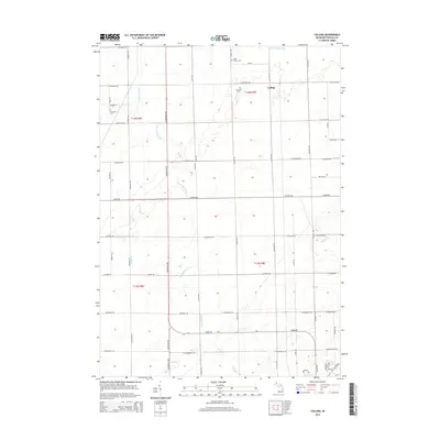
2014 Map of Colling
USGS Topo · Published 2014About this map
Colling sits at the heart of this agricultural landscape in the Michigan Thumb, where a grid of rural roads connects scattered farmsteads and historic burial grounds. The territory is defined by an intricate network of waterways designed for land management, including the Wiscoggin Drain and its E Br Wiscoggin Drain, alongside natural tributaries like Gilbert Br, Ross Br, and Humes Br. Genealogists will find significant local history preserved at Saint Peters Cem, Columbia Cem, and Demorest Cem, which serve as anchors for the surrounding rural community. The map reveals the late-modern road system, tracing routes such as Unionville Rd and Cass City Rd that have long facilitated the transport of crops in this productive corner of Tuscola County.
Find a feature on this map
61 named features on this map. Tap any name to fly to it.
Don’t see what you’re looking for? This feature index may not catch every label — zoom into the map to look around manually.
Map Details
Editions of this 2014 Colling Map
This is the sole edition of this map. No revisions or reprints were ever made.
Other maps of this area

1954 · Flint
USGS Topo · 1:250,000

1958 · Flint
USGS Topo · 1:250,000

1963 · Fish Point
USGS Topo · 1:24,000

1963 · East Dayton
USGS Topo · 1:24,000

1963 · Fairgrove
USGS Topo · 1:24,000

1963 · Ellington
USGS Topo · 1:24,000

1963 · Gilford
USGS Topo · 1:24,000

1963 · Caro
USGS Topo · 1:24,000

1963 · Owendale
USGS Topo · 1:24,000

1963 · Colling
USGS Topo · 1:24,000