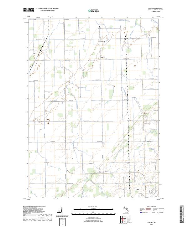
2023 Map of Colling
USGS Topo · Published 2023About this map
Colling and the northern outskirts of Caro anchor this agricultural landscape in Tuscola County, where the topography is defined by an extensive network of engineered waterways. The presence of features like State Drain, Columbian Drain, and the East Branch Wiscoggin Drain reflects the vital role of water management in sustaining the region's productive farmland. These man-made channels intersect with natural drainage points such as Gilbert Branch and Ross Branch, creating a grid-like pattern of transport and irrigation common in Michigan's Thumb region. This modern survey shows how contemporary road systems and land-use boundaries have integrated with these historic water routes, maintaining the area's identity as a hub for rural industry and local commerce.
Find a feature on this map
9 named features on this map. Tap any name to fly to it.
Don’t see what you’re looking for? This feature index may not catch every label — zoom into the map to look around manually.
Map Details
Editions of this 2023 Colling Map
This is the sole edition of this map. No revisions or reprints were ever made.
Other maps of this area

1954 · Flint
USGS Topo · 1:250,000

1958 · Flint
USGS Topo · 1:250,000

1963 · Fish Point
USGS Topo · 1:24,000

1963 · East Dayton
USGS Topo · 1:24,000

1963 · Fairgrove
USGS Topo · 1:24,000

1963 · Ellington
USGS Topo · 1:24,000

1963 · Gilford
USGS Topo · 1:24,000

1963 · Caro
USGS Topo · 1:24,000

1963 · Owendale
USGS Topo · 1:24,000

1963 · Colling
USGS Topo · 1:24,000