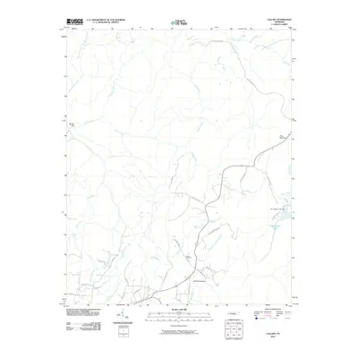
2010 Map of Collins
USGS Topo · Published 2010About this map
The Collins River and its intricate tributaries dominate this Grundy County landscape, carving through deep recesses such as Savage Gulf and Elder Thicket Gulf. In this 2010 survey, the hydrology of the Cumberland Plateau is on full display, with the Middle Prong Collins River and Jonathan Creek feeding the primary drainage system. The road network reflects a history of transit and topographic constraints, featuring the descriptively named Stage Coach Rd and various family-named routes like Cullen Savage RD.
Find a feature on this map
40 named features on this map. Tap any name to fly to it.
Don’t see what you’re looking for? This feature index may not catch every label — zoom into the map to look around manually.
Map Details
Editions of this 2010 Collins Map
This is the sole edition of this map. No revisions or reprints were ever made.
Other maps of this area

1888 · Chattanooga
USGS Topo · 1:125,000

1892 · Pikeville
USGS Topo · 1:125,000

1893 · Mc Minnville
USGS Topo · 1:125,000

1893 · Chattanooga
USGS Topo · 1:125,000

1895 · Mc Minnville
USGS Topo · 1:125,000

1895 · Sewanee
USGS Topo · 1:125,000

1895 · Pikeville
USGS Topo · 1:125,000

1935 · Smart Mountain
USGS Topo · 1:24,000

1936 · Palmer
USGS Topo · 1:24,000

1936 · Daus
USGS Topo · 1:24,000