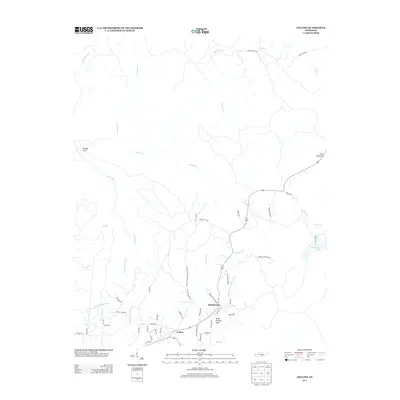
2013 Map of Collins
USGS Topo · Published 2013About this map
The Collins River and its Middle Prong Collins River anchor this portion of the Cumberland Plateau, where the settlements of Collins and Barkertown serve as the primary human centers. The landscape is defined by its dramatic drainage basins, most notably the Savage Gulf in the northwest and Elder Thicket Gulf to the south. Local road names such as Stage Coach Rd and the Old Chat-Mc Minnville Stage Rd provide a clear link to historical transit routes that once crossed these highlands. To the east, Price Mountain rises above the surrounding terrain, while water features like S K Johnson Lake and numerous creeks, including Jonathan Cr and Fall Cr, illustrate the complex hydrology of the region before the streams descend from the plateau's edge.
Find a feature on this map
57 named features on this map. Tap any name to fly to it.
Don’t see what you’re looking for? This feature index may not catch every label — zoom into the map to look around manually.
Map Details
Editions of this 2013 Collins Map
This is the sole edition of this map. No revisions or reprints were ever made.
Other maps of this area

1888 · Chattanooga
USGS Topo · 1:125,000

1892 · Pikeville
USGS Topo · 1:125,000

1893 · Mc Minnville
USGS Topo · 1:125,000

1893 · Chattanooga
USGS Topo · 1:125,000

1895 · Mc Minnville
USGS Topo · 1:125,000

1895 · Sewanee
USGS Topo · 1:125,000

1895 · Pikeville
USGS Topo · 1:125,000

1935 · Smart Mountain
USGS Topo · 1:24,000

1936 · Palmer
USGS Topo · 1:24,000

1936 · Daus
USGS Topo · 1:24,000