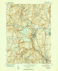
1951 Map of Collinsville
USGS Topo · Published 1951About this map
Collinsville serves as the industrial and social heart of this 1951 record, situated at a sharp bend in the Farmington River. The landscape is dominated by the massive Nepaug Reservoir, formed by the Nepaug Dam and Phelps Dam, which dramatically reshaped the terrain of the Nepaug State Forest. This period of mid-century growth is evident in the transition between dense riverside settlements like Unionville and the high ridges of Ratlum Mountain and Sweeheart Mountain. Local history researchers can trace the reach of the New Haven and Hartford RR as it parallels the river through Satans Kingdom. The map also captures the rural infrastructure of the era, from the Burlington Consolidated Sch and Alderman Sch to the State Fish Hatchery and several small community cemeteries, providing a detailed look at the public life of Burlington and Canton.
Find a feature on this map
83 named features on this map. Tap any name to fly to it.
Don’t see what you’re looking for? This feature index may not catch every label — zoom into the map to look around manually.
Map Details
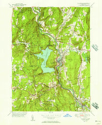
Editions of this 1951 Collinsville Map
2 editions found
Other maps of this area

1892 · Winsted
USGS Topo · 1:62,500

1892 · Meriden
USGS Topo · 1:62,500

1892 · Granby
USGS Topo · 1:62,500

1893 · Waterbury
USGS Topo · 1:62,500

1893 · Meriden
USGS Topo · 1:62,500

1904 · Waterbury
USGS Topo · 1:62,500

1904 · Litchfield
USGS Topo · 1:125,000

1906 · Farmington
USGS Topo · 1:125,000
1946 · New Britain
USGS Topo · 1:31,680

1946 · Bristol
USGS Topo · 1:31,680