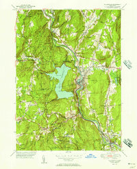
1951 Map of Collinsville
USGS Topo · Published 1951About this map
The Farmington River winds through the heart of this mid-century survey, anchoring the industrial and residential centers of Collinsville and Unionville. This landscape is defined by the massive footprint of the Nepaug Reservoir, which dramatically altered the local topography of the Nepaug River valley. The map reveals the dense settlement patterns of the early 1950s, showing closely packed structures in the river towns contrasted with the wooded heights of Ratlum Mountain and the Nassahegan State Forest. Local history is preserved through the location of several rural institutions, including the Cherry Brook Sch and the Burlington Consolidated Sch. Genealogists will find value in the clear marking of St Patricks Cem and Calvary Cem, while the inclusion of the State Fish Hatchery and the evocatively named Satans Kingdom provides a look into the region's diverse land use and folklore.
Find a feature on this map
67 named features on this map. Tap any name to fly to it.
Don’t see what you’re looking for? This feature index may not catch every label — zoom into the map to look around manually.
Map Details
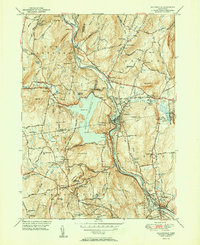
Editions of this 1951 Collinsville Map
2 editions found
Other maps of this area

1892 · Winsted
USGS Topo · 1:62,500

1892 · Meriden
USGS Topo · 1:62,500

1892 · Granby
USGS Topo · 1:62,500

1893 · Waterbury
USGS Topo · 1:62,500

1893 · Meriden
USGS Topo · 1:62,500

1904 · Waterbury
USGS Topo · 1:62,500

1904 · Litchfield
USGS Topo · 1:125,000

1906 · Farmington
USGS Topo · 1:125,000
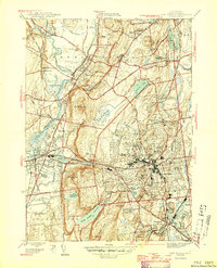
1946 · New Britain
USGS Topo · 1:31,680

1946 · Bristol
USGS Topo · 1:31,680