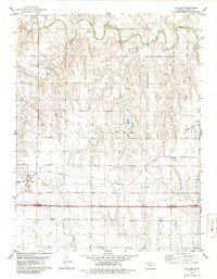
1979 Map of Collyer
USGS Topo · Published 1986About this map
Collyer and the small siding of Voda represent the primary settlements along the Union Pacific rail corridor in Trego County during the late 1970s. The landscape is defined by the winding course of the Saline River in the north and the drainage systems of Coyote Creek and Trego Creek to the south. The transition from the river valley to the surrounding uplands is marked by a series of Oil Wells and a Sandpit, indicating the local extraction economy of the era. Genealogists will find the location of the Collyer Cem south of the main townsite particularly useful for historical research. The map also captures infrastructure such as the Sewage Disposal Ponds near the town center, showing the development of municipal services as they existed when the USGS field-checked the area in 1975.
Find a feature on this map
11 named features on this map. Tap any name to fly to it.
Don’t see what you’re looking for? This feature index may not catch every label — zoom into the map to look around manually.
Map Details
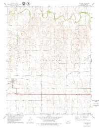
Editions of this 1979 Collyer Map
2 editions found
Other maps of this area

1893 · Ellis
USGS Topo · 1:125,000

1893 · Hill
USGS Topo · 1:125,000

1954 · Goodland
USGS Topo · 1:250,000

1955 · Great Bend
USGS Topo · 1:250,000

1955 · Scott City
USGS Topo · 1:250,000

1955 · Beloit
USGS Topo · 1:250,000

1956 · Goodland
USGS Topo · 1:250,000

1957 · Goodland
USGS Topo · 1:250,000

1957 · Great Bend
USGS Topo · 1:250,000

1958 · Great Bend
USGS Topo · 1:250,000