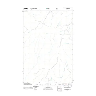
2011 Map of Colockum Pass
USGS Topo · Published 2011About this map
Colockum Pass serves as the central focal point of this high-altitude landscape in Kittitas County, where the drainages of the Columbia River basin begin their descent. The map reveals a network of remote service roads and mountain tracks, including the winding Jumpoff Ridge Rd and Colockum Rd, which provide access to the high backcountry. Historically significant spots like Mountain Home and the junction at Four Corners suggest a long-standing pattern of seasonal use or land management in this environment.
Find a feature on this map
19 named features on this map. Tap any name to fly to it.
Don’t see what you’re looking for? This feature index may not catch every label — zoom into the map to look around manually.
Map Details
Editions of this 2011 Colockum Pass Map
This is the sole edition of this map. No revisions or reprints were ever made.
Other maps of this area

1912 · Malaga
USGS Topo · 1:48,000

1913 · Wenatchee
USGS Topo · 1:62,500

1914 · Malaga
USGS Topo · 1:62,500

1915 · Wenatchee
USGS Topo · 1:62,500

1920 · Colockum Pass
USGS Topo · 1:125,000

1922 · Colockum Pass
USGS Topo · 1:125,000

1957 · Wenatchee
USGS Topo · 1:250,000
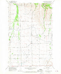
1966 · Colockum Pass SW
USGS Topo · 1:24,000
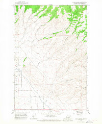
1966 · Colockum Pass SE
USGS Topo · 1:24,000
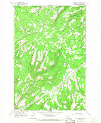
1966 · Colockum Pass
USGS Topo · 1:24,000