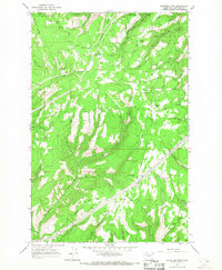
1966 Map of Colockum Pass
USGS Topo · Published 1968About this map
Jumpoff Ridge and Naneum Ridge dominate this high-elevation landscape within the Wenatchee National Forest during the mid-1960s. The area is characterized by a complex network of seasonal drainages and sharp relief, where Colockum Pass serves as a critical transit point through the high country. Small, isolated outposts like Mountain Home and Four Corners suggest the presence of seasonal ranching, forestry, or recreational activity typical of this part of Kittitas County.
Find a feature on this map
26 named features on this map. Tap any name to fly to it.
Don’t see what you’re looking for? This feature index may not catch every label — zoom into the map to look around manually.
Map Details
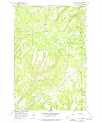
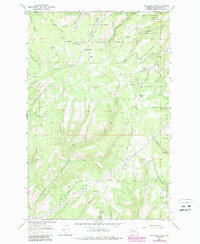
Editions of this 1966 Colockum Pass Map
3 editions found
Other maps of this area

1912 · Malaga
USGS Topo · 1:48,000

1913 · Wenatchee
USGS Topo · 1:62,500

1914 · Malaga
USGS Topo · 1:62,500

1915 · Wenatchee
USGS Topo · 1:62,500

1920 · Colockum Pass
USGS Topo · 1:125,000

1922 · Colockum Pass
USGS Topo · 1:125,000

1957 · Wenatchee
USGS Topo · 1:250,000
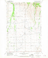
1966 · Colockum Pass SW
USGS Topo · 1:24,000
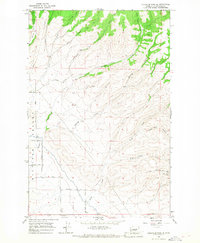
1966 · Colockum Pass SE
USGS Topo · 1:24,000
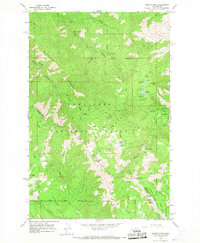
1966 · Mission Peak
USGS Topo · 1:24,000