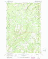
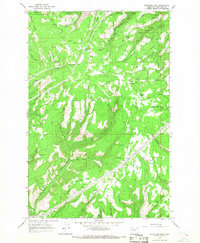
1966 Map of Colockum Pass
USGS Topo · Published 1987About this map
Naneum Ridge and Jumpoff Ridge dominate this high-country landscape in Kittitas County, where the transition between the Wenatchee National Forest and the Colockum State Wildlife Area is marked by deep drainages and remote high passes. The 1966 fieldwork, updated with mid-1980s aerial data, shows a network of early transport routes including the Colockum Road and several specialized paths like the Pack Trail and Sheep Trail.
Find a feature on this map
38 named features on this map. Tap any name to fly to it.
Don’t see what you’re looking for? This feature index may not catch every label — zoom into the map to look around manually.
Map Details
Editions of this 1966 Colockum Pass Map
3 editions found
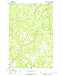
Other maps of this area

1912 · Malaga
USGS Topo · 1:48,000

1913 · Wenatchee
USGS Topo · 1:62,500

1914 · Malaga
USGS Topo · 1:62,500

1915 · Wenatchee
USGS Topo · 1:62,500

1920 · Colockum Pass
USGS Topo · 1:125,000

1922 · Colockum Pass
USGS Topo · 1:125,000

1957 · Wenatchee
USGS Topo · 1:250,000
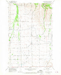
1966 · Colockum Pass SW
USGS Topo · 1:24,000
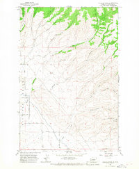
1966 · Colockum Pass SE
USGS Topo · 1:24,000
1966 · Colockum Pass
USGS Topo · 1:24,000