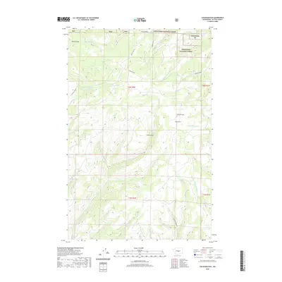
2020 Map of Colockum Pass
USGS Topo · Published 2020About this map
Colockum Pass sits at the heart of this high-elevation landscape in Kittitas County, where the topography is defined by the dramatic descent from Naneum Ridge and Jumpoff Ridge into deep drainages. Much of the northeast corner is protected within the Wenatchee National Forest, a terrain of steep slopes and seasonal watercourses. The drainage patterns are intricate, with headwaters for systems like Big Stemilt Cr and the many forks of Tarpiscan Cr carving through the plateau.
Find a feature on this map
29 named features on this map. Tap any name to fly to it.
Don’t see what you’re looking for? This feature index may not catch every label — zoom into the map to look around manually.
Map Details
Editions of this 2020 Colockum Pass Map
This is the sole edition of this map. No revisions or reprints were ever made.
Other maps of this area

1912 · Malaga
USGS Topo · 1:48,000

1913 · Wenatchee
USGS Topo · 1:62,500

1914 · Malaga
USGS Topo · 1:62,500

1915 · Wenatchee
USGS Topo · 1:62,500

1920 · Colockum Pass
USGS Topo · 1:125,000

1922 · Colockum Pass
USGS Topo · 1:125,000

1957 · Wenatchee
USGS Topo · 1:250,000
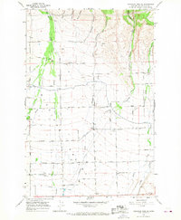
1966 · Colockum Pass SW
USGS Topo · 1:24,000
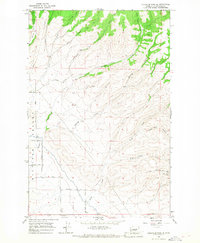
1966 · Colockum Pass SE
USGS Topo · 1:24,000
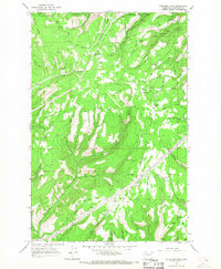
1966 · Colockum Pass
USGS Topo · 1:24,000