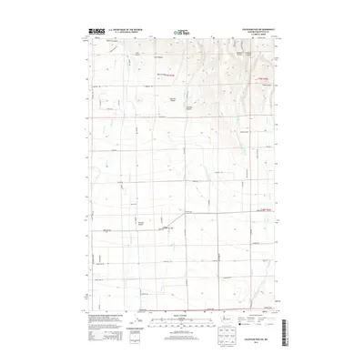
2014 Map of Colockum Pass SW
USGS Topo · Published 2014About this map
Kittitas Valley agriculture and the complex drainage of the eastern Cascades define this 2014 landscape. The terrain transitions from the high, dissected plateaus of Naneum Canyon and Schnebly Canyon in the north down toward the irrigated lowlands. Water management is a primary feature of the region's development, evidenced by the North Branch Canal cutting across the valley floor to support the local farm economy.
Find a feature on this map
60 named features on this map. Tap any name to fly to it.
Don’t see what you’re looking for? This feature index may not catch every label — zoom into the map to look around manually.
Map Details
Editions of this 2014 Colockum Pass SW Map
This is the sole edition of this map. No revisions or reprints were ever made.
Other maps of this area

1897 · Mount Stuart
USGS Topo · 1:125,000

1899 · Ellensburg
USGS Topo · 1:125,000

1901 · Ellensburg
USGS Topo · 1:125,000

1902 · Mount Stuart
USGS Topo · 1:125,000

1920 · Colockum Pass
USGS Topo · 1:125,000

1922 · Colockum Pass
USGS Topo · 1:125,000

1938 · Badger Pocket
USGS Topo · 1:48,000

1943 · Badger Pocket
USGS Topo · 1:62,500

1950 · Yakima
USGS Topo · 1:250,000
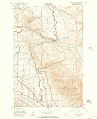
1953 · East Kittitas
USGS Topo · 1:24,000