
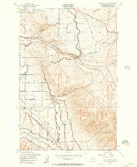
2023 Map of Colockum Pass SW
USGS Topo · Published 2023About this map
The northern edge of the Kittitas Valley meets the rising terrain of the eastern Cascades in this topographical study. Water management is a central theme across the landscape, defined by the engineered paths of the North Branch Canal and the Cascade Canal which traverse the valley floor. These human-made arteries intersect natural drainage systems such as Naneum Creek and Schnebly Creek as they flow south from the highlands.
Find a feature on this map
58 named features on this map. Tap any name to fly to it.
Don’t see what you’re looking for? This feature index may not catch every label — zoom into the map to look around manually.
Map Details
Editions of this 2023 Colockum Pass SW Map
This is the sole edition of this map. No revisions or reprints were ever made.
Other maps of this area

1897 · Mount Stuart
USGS Topo · 1:125,000

1899 · Ellensburg
USGS Topo · 1:125,000

1901 · Ellensburg
USGS Topo · 1:125,000

1902 · Mount Stuart
USGS Topo · 1:125,000

1920 · Colockum Pass
USGS Topo · 1:125,000

1922 · Colockum Pass
USGS Topo · 1:125,000

1938 · Badger Pocket
USGS Topo · 1:48,000

1943 · Badger Pocket
USGS Topo · 1:62,500

1950 · Yakima
USGS Topo · 1:250,000
1953 · East Kittitas
USGS Topo · 1:24,000