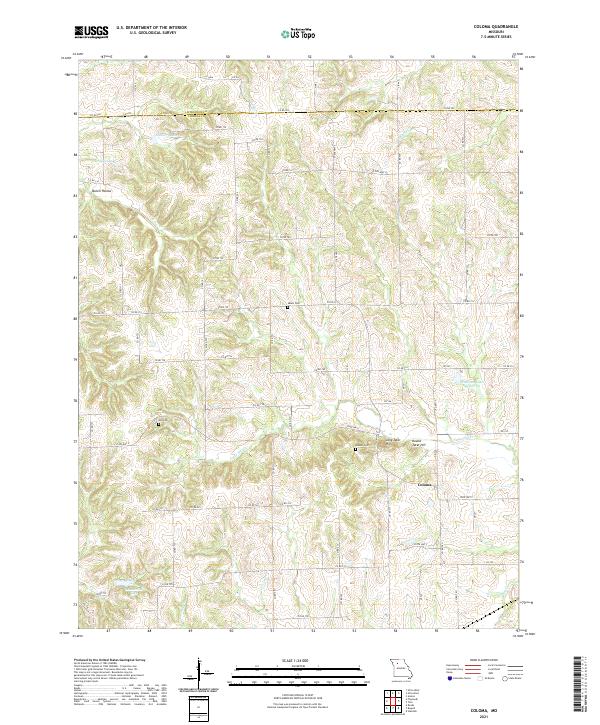
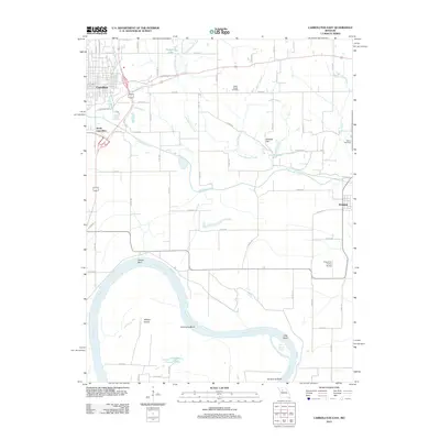
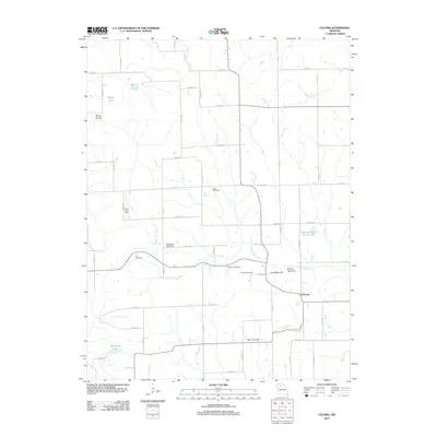
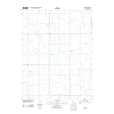
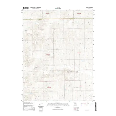
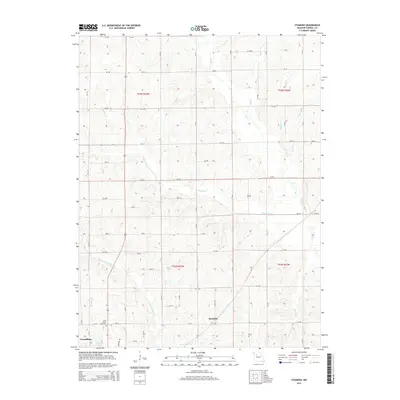
2021 Map of Coloma
USGS Topo · Published 2021About this map
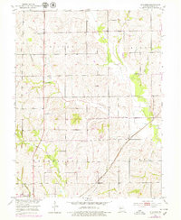
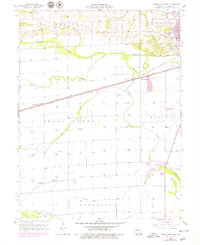
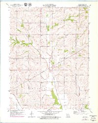
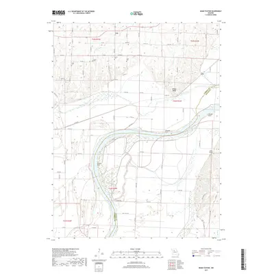
Coloma sits at the intersection of several rural routes including State Hwy Z and State Hwy U, serving as a central point in this agricultural landscape on the border of Livingston and Carroll counties. The terrain is defined by a dense network of drainages and creeks, most notably Big Creek and Tater Hill Creek, which carve through the undulating countryside. This 2021 survey reveals a landscape largely shaped by water management, with several named bodies such as Maberry Lake, Sykes Lake, and Mandeville Lake scattered across the northern and southern reaches.
Find a feature on this map
71 named features on this map. Tap any name to fly to it.
Don’t see what you’re looking for? This feature index may not catch every label — zoom into the map to look around manually.
Map Details
Editions of this 2021 Coloma Map
This is the sole edition of this map. No revisions or reprints were ever made.
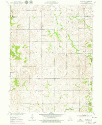
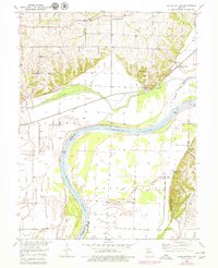
Historical Maps of Coloma Through Time
35 maps found
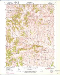
1950 Coloma
Carroll County, MO
1950 Plymouth
Carroll County, MO

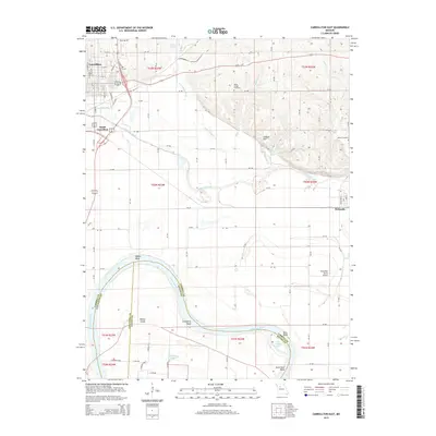
1951 Carrollton East
Carroll County, MO
1951 Miami Station
Carroll County, MO
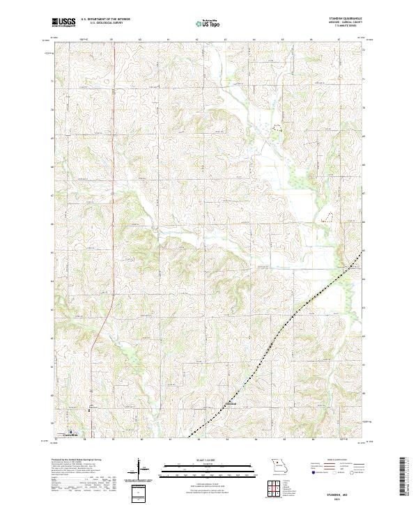
1951 Standish
Carroll County, MO
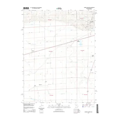
1956 Carrollton West
Carroll County, MO
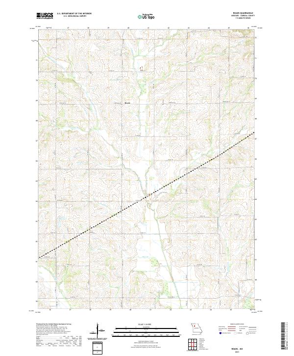
1957 Roads
Carroll County, MO
2012 Carrollton East
Carroll County, MO
2012 Carrollton West
Carroll County, MO
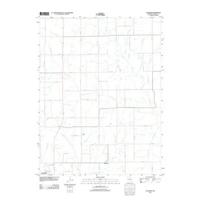
2012 Coloma
Carroll County, MO
2012 Miami Station
Carroll County, MO
2012 Plymouth
Carroll County, MO
2012 Roads
Carroll County, MO
2012 Standish
Carroll County, MO
2015 Carrollton East
Carroll County, MO
2015 Carrollton West
Carroll County, MO
2015 Coloma
Carroll County, MO
2015 Miami Station
Carroll County, MO
2015 Plymouth
Carroll County, MO
2015 Roads
Carroll County, MO
2015 Standish
Carroll County, MO
2017 Carrollton East
Carroll County, MO
2017 Carrollton West
Carroll County, MO
2017 Coloma
Carroll County, MO
2017 Miami Station
Carroll County, MO
2017 Plymouth
Carroll County, MO
2017 Roads
Carroll County, MO
2017 Standish
Carroll County, MO
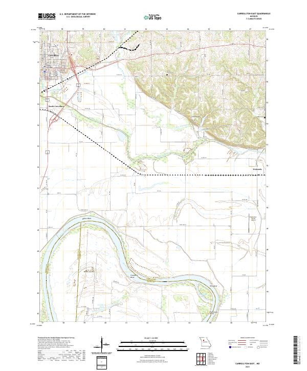
2021 Carrollton East
Carroll County, MO
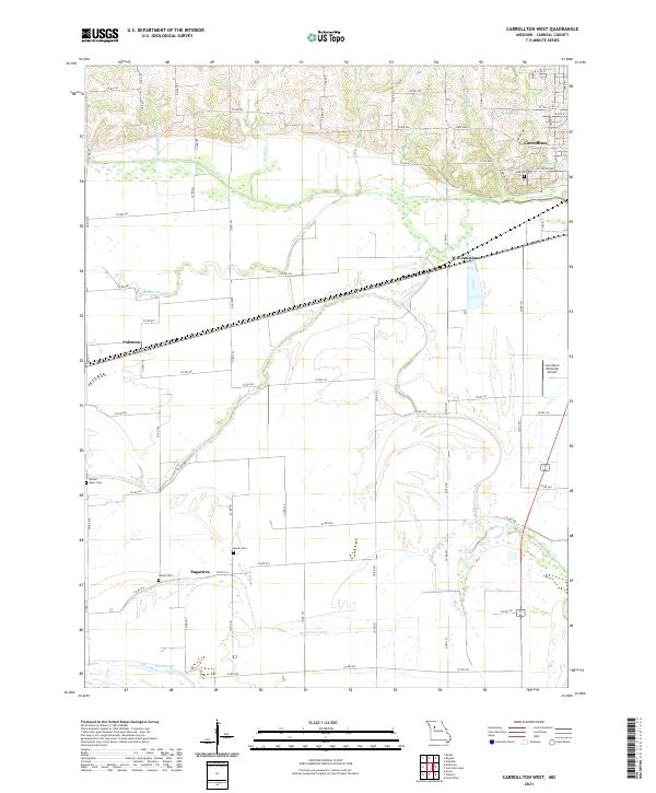
2021 Carrollton West
Carroll County, MO
2021 Coloma
Carroll County, MO
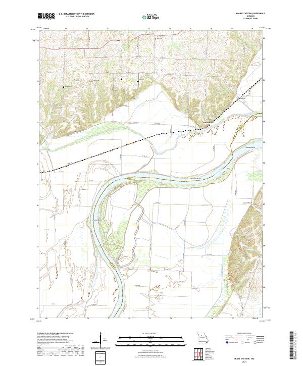
2021 Miami Station
Carroll County, MO
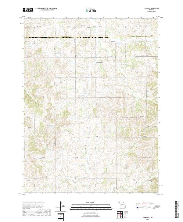
2021 Plymouth
Carroll County, MO
2021 Roads
Carroll County, MO
2021 Standish
Carroll County, MO