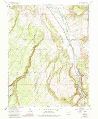
1963 Map of Colona
USGS Topo · Published 1984About this map
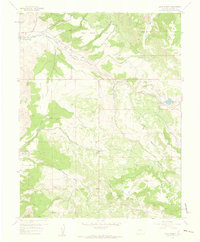
Uncompahgre River water management and rugged high-desert topography define this corner of the Colorado plateau during the mid-1960s. The small settlement of Colona sits near the northern edge, where the South Canal and M Lat Canal branch off to support regional irrigation. The map reveals the infrastructure of the era, including the Colona Dam and a Gaging Station along the riverbanks.
Find a feature on this map
32 named features on this map. Tap any name to fly to it.
Don’t see what you’re looking for? This feature index may not catch every label — zoom into the map to look around manually.
Map Details
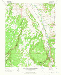
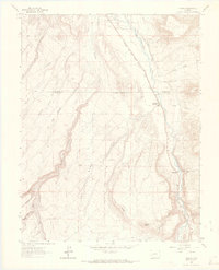
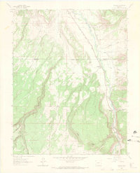
Editions of this 1963 Colona Map
4 editions found
Other maps of this area

1902 · Ouray
USGS Topo · 1:62,500

1904 · Ouray
USGS Topo · 1:62,500

1909 · Montrose
USGS Topo · 1:125,000

1911 · Montrose
USGS Topo · 1:125,000

1956 · Montrose
USGS Topo · 1:250,000
1957 · Cerro Summit
USGS Topo · 1:24,000

1959 · Montrose
USGS Topo · 1:250,000

1960 · Montrose
USGS Topo · 1:250,000
1962 · Montrose East
USGS Topo · 1:24,000
1962 · Montrose West
USGS Topo · 1:24,000