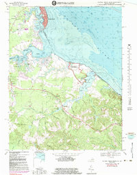
1968 Map of Colonial Beach South
USGS Topo · Published 1983About this map
The George Washington Birthplace National Monument dominates the shoreline of the Potomac River on this Westmoreland County coastal survey. The map details the transition from the tidewater resort character of Colonial Beach with its Filtration Plant and boat ramps to the rural agrarian interiors. Moving inland, the landscape is defined by extensive wetlands like Popes Creek Swamp and Digwood Swamp, punctuated by long-established crossroads such as Oak Grove, Wakefield Corner, and Potomac Mills.
Find a feature on this map
83 named features on this map. Tap any name to fly to it.
Don’t see what you’re looking for? This feature index may not catch every label — zoom into the map to look around manually.
Map Details
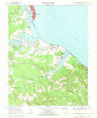
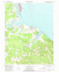
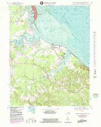
Editions of this 1968 Colonial Beach South Map
4 editions found
Other maps of this area

1889 · Fredericksburg
USGS Topo · 1:125,000

1892 · Fredericksburg
USGS Topo · 1:125,000

1892 · Montross
USGS Topo · 1:62,500

1894 · Wicomico
USGS Topo · 1:62,500

1894 · Fredericksburg
USGS Topo · 1:125,000

1895 · Wicomico
USGS Topo · 1:62,500

1895 · Nomini
USGS Topo · 1:125,000

1895 · Montross
USGS Topo · 1:62,500

1898 · Nomini
USGS Topo · 1:125,000

1902 · Wicomico
USGS Topo · 1:62,500