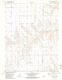
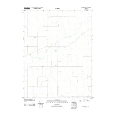
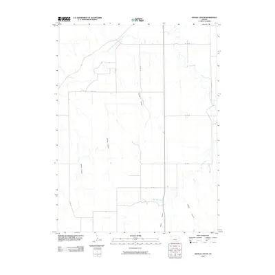
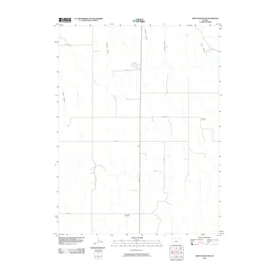
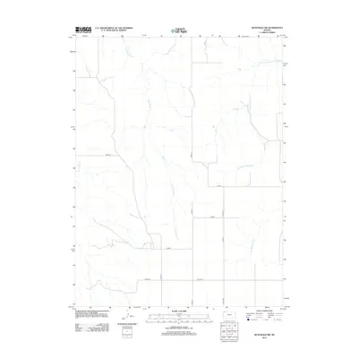
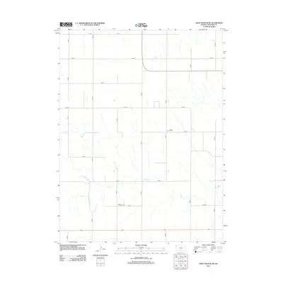
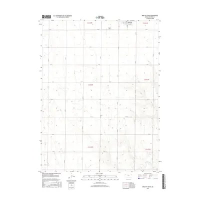
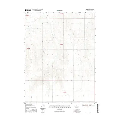
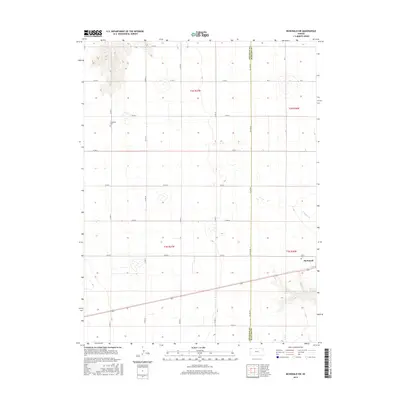
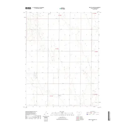
1969 Map of Colony Township NW
USGS Topo · Published 1997About this map
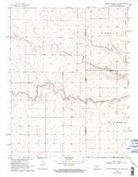
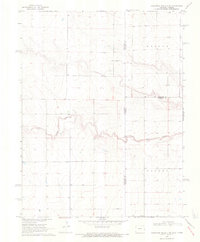
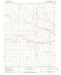
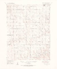
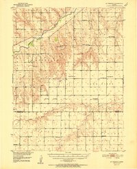
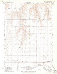
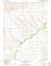
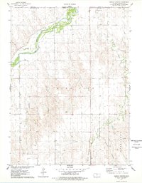
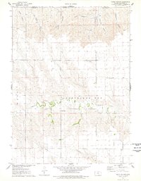
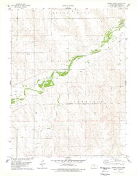
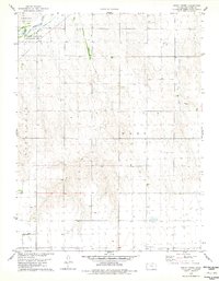
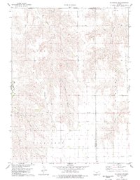
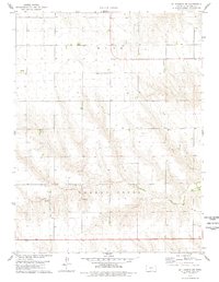
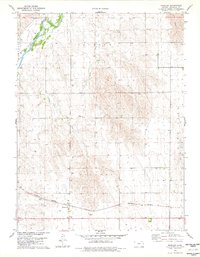
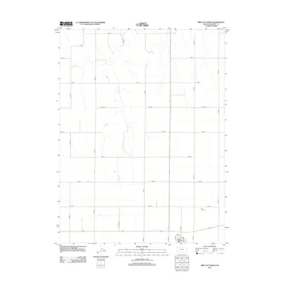
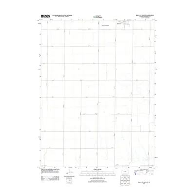
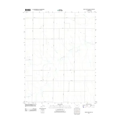
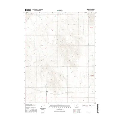
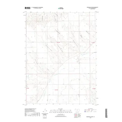
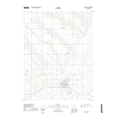
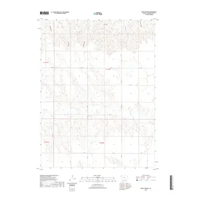
South Ladder Creek meanders across this High Plains landscape, marking a distinct drainage pattern in an area defined by its vast agricultural townships. This 1968 aerial survey, field-checked in 1969, captures the remote borderlands where Colorado and Kansas meet. The map reveals the intricate surveying of Weskan and Colony townships, where the section lines of the Public Land Survey System dictate the placement of rural roads and isolated water sources like Wells and a solitary Well. Evidence of local resource extraction is visible at the Gravel Pit located near the creek bed. The map provides a detailed view of the tri-county intersection of Cheyenne, Wallace, and Greeley counties, illustrating how geopolitical boundaries were etched into the prairie landscape during the late 1960s.
Find a feature on this map
10 named features on this map. Tap any name to fly to it.
Don’t see what you’re looking for? This feature index may not catch every label — zoom into the map to look around manually.
Map Details
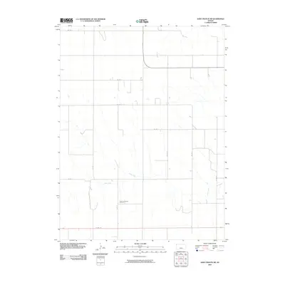
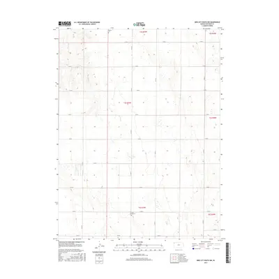
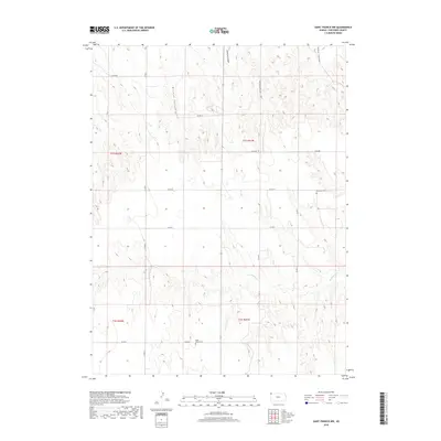
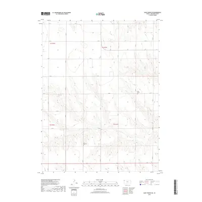
Editions of this 1969 Colony Township NW Map
3 editions found
Historical Maps of Weskan Township Through Time
94 maps found
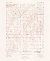
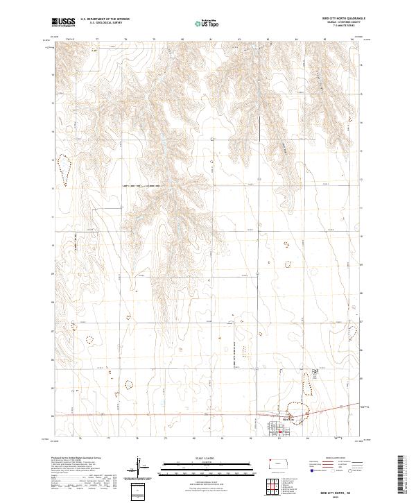
1951 Bird City North
Cheyenne County, KS
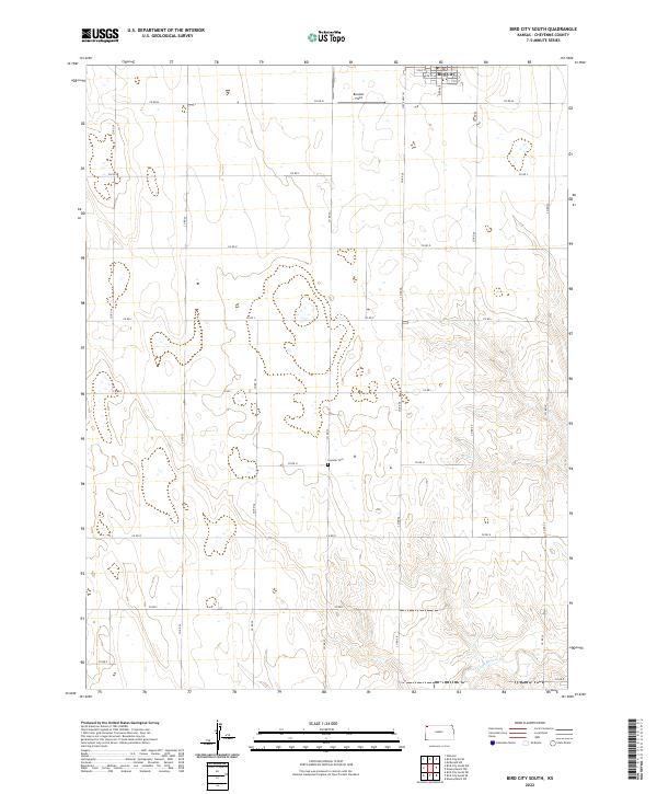
1951 Bird City South
Cheyenne County, KS
1952 St. Francis 3
Cheyenne County, KS
1969 Colony Township NW
Cheyenne County, KS
1976 Bird City North
Cheyenne County, KS
1976 Heinzelman Canyon
Cheyenne County, KS
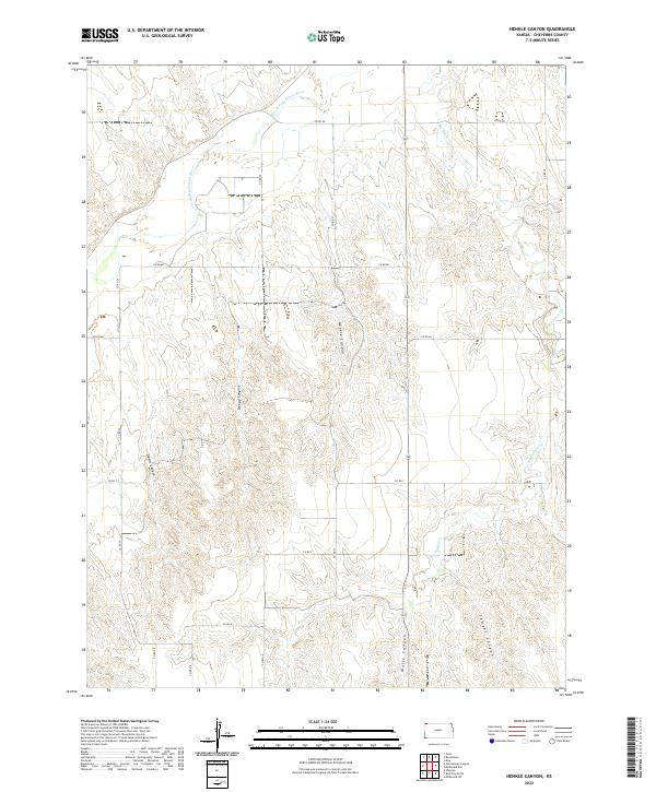
1976 Henkle Canyon
Cheyenne County, KS
1976 White Canyon
Cheyenne County, KS
1978 Crosby Creek
Cheyenne County, KS
1978 Drury Creek
Cheyenne County, KS
1978 Mc Donald NW
Cheyenne County, KS
1978 Mc Donald SW
Cheyenne County, KS
1978 St Francis
Cheyenne County, KS
1978 St Francis NW
Cheyenne County, KS
1978 St Francis SW
Cheyenne County, KS
1978 Wheeler
Cheyenne County, KS
1981 Bird City South
Cheyenne County, KS
1981 Bird City South NW
Cheyenne County, KS
1981 Dewey Ranch NW
Cheyenne County, KS
2009 Bird City North
Cheyenne County, KS
2009 Bird City South
Cheyenne County, KS
2009 Bird City South NW
Cheyenne County, KS
2009 Crosby Creek
Cheyenne County, KS
2009 Dewey Ranch NW
Cheyenne County, KS
2009 Drury Creek
Cheyenne County, KS
2009 Heinzelman Canyon
Cheyenne County, KS
2009 Henkle Canyon
Cheyenne County, KS
2009 McDonald NW
Cheyenne County, KS
2009 McDonald SW
Cheyenne County, KS
2009 Saint Francis
Cheyenne County, KS
2009 Saint Francis NW
Cheyenne County, KS
2009 Saint Francis SW
Cheyenne County, KS
2009 Wheeler
Cheyenne County, KS
2009 White Canyon
Cheyenne County, KS
2012 Bird City North
Cheyenne County, KS
2012 Bird City South
Cheyenne County, KS
2012 Bird City South NW
Cheyenne County, KS
2012 Crosby Creek
Cheyenne County, KS
2012 Dewey Ranch NW
Cheyenne County, KS
2012 Drury Creek
Cheyenne County, KS
2012 Heinzelman Canyon
Cheyenne County, KS
2012 Henkle Canyon
Cheyenne County, KS
2012 McDonald NW
Cheyenne County, KS
2012 McDonald SW
Cheyenne County, KS
2012 Saint Francis
Cheyenne County, KS
2012 Saint Francis NW
Cheyenne County, KS
2012 Saint Francis SW
Cheyenne County, KS
2012 Wheeler
Cheyenne County, KS
2012 White Canyon
Cheyenne County, KS
2015 Bird City North
Cheyenne County, KS
2015 Bird City South
Cheyenne County, KS
2015 Bird City South NW
Cheyenne County, KS
2015 Crosby Creek
Cheyenne County, KS
2015 Dewey Ranch NW
Cheyenne County, KS
2015 Drury Creek
Cheyenne County, KS
2015 Heinzelman Canyon
Cheyenne County, KS
2015 Henkle Canyon
Cheyenne County, KS
2015 McDonald NW
Cheyenne County, KS
2015 McDonald SW
Cheyenne County, KS
2015 Saint Francis
Cheyenne County, KS
2015 Saint Francis NW
Cheyenne County, KS
2015 Saint Francis SW
Cheyenne County, KS
2015 Wheeler
Cheyenne County, KS
2015 White Canyon
Cheyenne County, KS
2018 Bird City North
Cheyenne County, KS
2018 Bird City South
Cheyenne County, KS
2018 Bird City South NW
Cheyenne County, KS
2018 Crosby Creek
Cheyenne County, KS
2018 Dewey Ranch NW
Cheyenne County, KS
2018 Drury Creek
Cheyenne County, KS
2018 Heinzelman Canyon
Cheyenne County, KS
2018 Henkle Canyon
Cheyenne County, KS
2018 McDonald NW
Cheyenne County, KS
2018 McDonald SW
Cheyenne County, KS
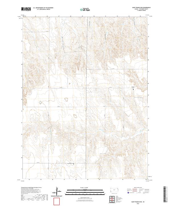
2018 Saint Francis
Cheyenne County, KS
2018 Saint Francis NW
Cheyenne County, KS
2018 Saint Francis SW
Cheyenne County, KS
2018 Wheeler
Cheyenne County, KS
2018 White Canyon
Cheyenne County, KS
2022 Bird City North
Cheyenne County, KS
2022 Bird City South
Cheyenne County, KS
2022 Bird City South NW
Cheyenne County, KS
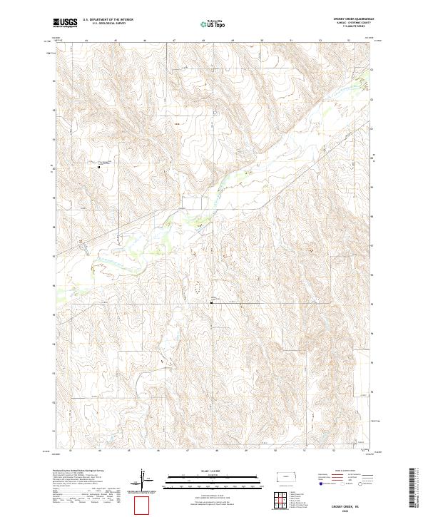
2022 Crosby Creek
Cheyenne County, KS
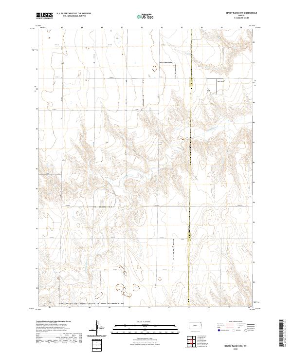
2022 Dewey Ranch NW
Cheyenne County, KS
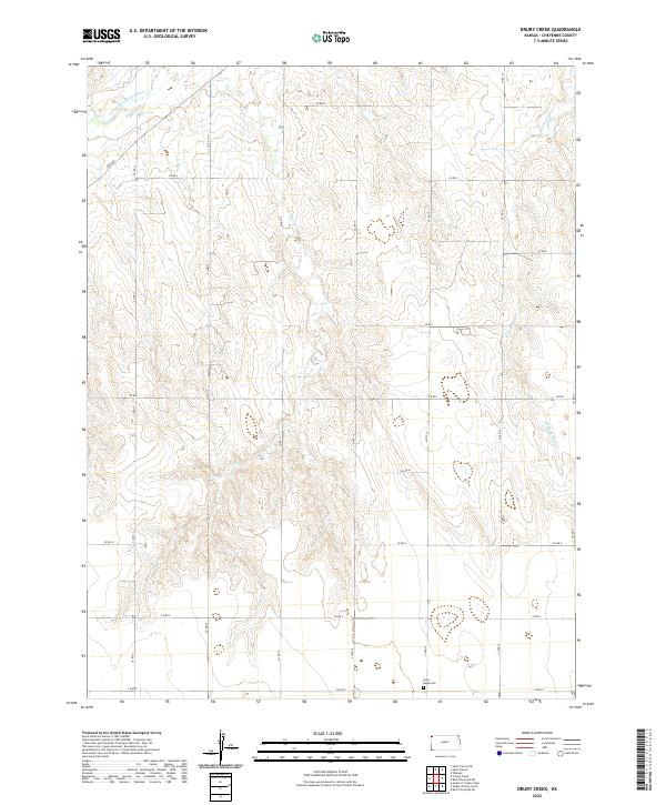
2022 Drury Creek
Cheyenne County, KS
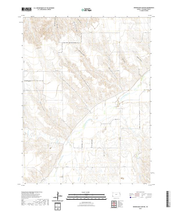
2022 Heinzelman Canyon
Cheyenne County, KS
2022 Henkle Canyon
Cheyenne County, KS
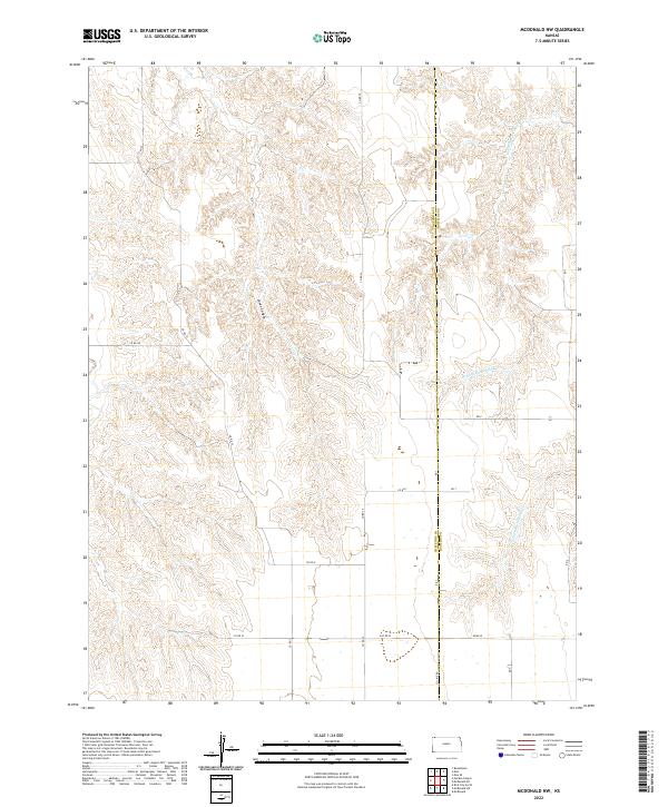
2022 McDonald NW
Cheyenne County, KS
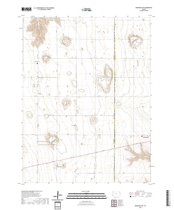
2022 McDonald SW
Cheyenne County, KS
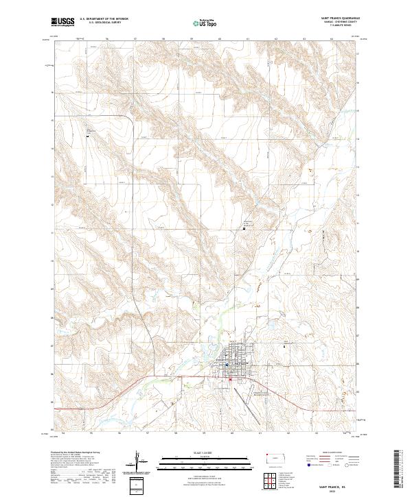
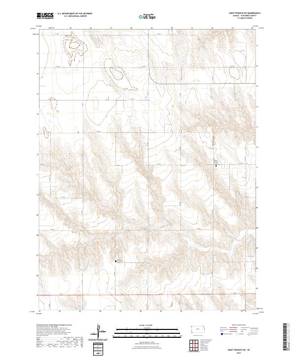
2022 Saint Francis
Cheyenne County, KS
2022 Saint Francis NW
Cheyenne County, KS
2022 Saint Francis SW
Cheyenne County, KS
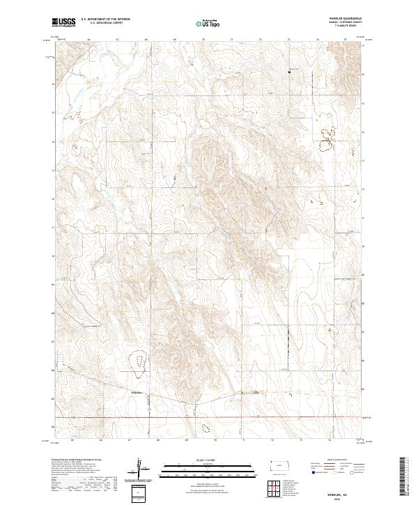
2022 Wheeler
Cheyenne County, KS
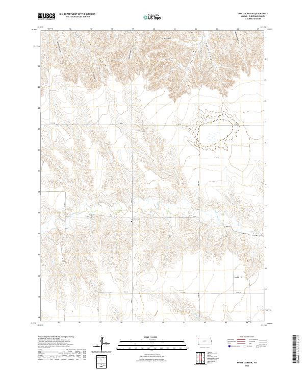
2022 White Canyon
Cheyenne County, KS