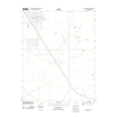
2011 Map of Colorado City
USGS Topo · Published 2011About this map
Colorado City sits along the northern edge of the Arizona strip, defined by a grid of residential streets such as Garden Ave and Mohave Ave near the Utah border. This 2011 survey illustrates a community deeply tied to its geography, with the Colorado City Post Office and Isaac Carling Memorial Park serving as local landmarks. The landscape south of the main settlement transitions into open range and rugged terrain, where significant water features like Short Creek Reservoir Number Two and the meandering Cottonwood Wash are critical for the arid environment. A network of rural routes, including Vermillion Rd and School Bound Rd, connects the town to outlying areas like Cane Beds. Prominent landforms such as Cottonwood Point and Cedar Ridge dominate the southern half of the quadrangle, providing natural orientation points in this high-desert region.
Find a feature on this map
39 named features on this map. Tap any name to fly to it.
Don’t see what you’re looking for? This feature index may not catch every label — zoom into the map to look around manually.
Map Details
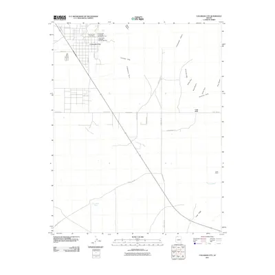
Editions of this 2011 Colorado City Map
2 editions found
Other maps of this area

1885 · St. George
USGS Topo · 1:250,000

1886 · Kanab
USGS Topo · 1:250,000

1886 · Mt. Trumbull
USGS Topo · 1:250,000

1886 · Kaibab
USGS Topo · 1:250,000

1891 · St. George
USGS Topo · 1:250,000

1892 · Mt. Trumbull
USGS Topo · 1:250,000

1953 · Cedar City
USGS Topo · 1:250,000

1953 · Grand Canyon
USGS Topo · 1:250,000

1954 · La Verkin 4 SE
USGS Topo · 1:24,000

1954 · Lost Spring SE
USGS Topo · 1:24,000