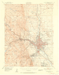
1951 Map of Colorado Springs
USGS Topo · Published 1951About this map
Colorado Springs serves as the focal point for this mid-century portrait of the Front Range, where the growing city grid meets the steep eastern slopes of the Rampart Range. The map documents a period of significant institutional expansion and urban consolidation, notably including the Modern Woodmen of America Sanatorium and the Union Printers Home. The transportation network is remarkably dense, featuring five different rail lines such as the Atchison Topeka and Santa Fe and the cog-driven Manitou and Pikes Peak railroad climbing toward the west.
Find a feature on this map
117 named features on this map. Tap any name to fly to it.
Don’t see what you’re looking for? This feature index may not catch every label — zoom into the map to look around manually.
Map Details
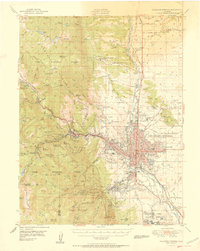
Editions of this 1951 Colorado Springs Map
2 editions found
Other maps of this area

1893 · Platte Canyon
USGS Topo · 1:125,000

1893 · Colorado Springs
USGS Topo · 1:125,000

1894 · Pikes Peak
USGS Topo · 1:125,000

1894 · Castle Rock
USGS Topo · 1:125,000

1901 · Pikes Peak
USGS Topo · 1:125,000

1901 · Pikes Peak
USGS Topo · 1:62,500

1909 · Colorado Springs
USGS Topo · 1:125,000

1913 · Castle Rock
USGS Topo · 1:125,000

1940 · Elbert
USGS Topo · 1:62,500

1942 · Colorado Springs
USGS Topo · 1:125,000