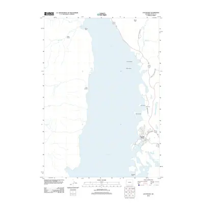
2012 Map of Colter Bay
USGS Topo · Published 2012About this map
Jackson Lake dominates this mountain landscape, its eastern shoreline defined by the recreational hub of Colter Bay Village. Situated within Grand Teton National Park, the area shows a distinct contrast between the developed eastern side, featuring Leeks Lodge and Colter Bay Village Rd, and the wild, roadless western shore. On that western flank, steep drainages like Webb Canyon and Colter Canyon descend from high peaks toward the water, where the Jackson Lake Hot Springs emerge near the shore.
Find a feature on this map
24 named features on this map. Tap any name to fly to it.
Don’t see what you’re looking for? This feature index may not catch every label — zoom into the map to look around manually.
Map Details
Editions of this 2012 Colter Bay Map
This is the sole edition of this map. No revisions or reprints were ever made.
Other maps of this area

1886 · Shoshone
USGS Topo · 1:125,000

1888 · Shoshone
USGS Topo · 1:125,000

1895 · Shoshone
USGS Topo · 1:125,000

1899 · Grand Teton
USGS Topo · 1:125,000

1901 · Shoshone
USGS Topo · 1:125,000

1901 · Grand Teton
USGS Topo · 1:125,000

1908 · Shoshone
USGS Topo · 1:125,000

1911 · Shoshone
USGS Topo · 1:125,000

1955 · Ashton
USGS Topo · 1:250,000

1955 · Driggs
USGS Topo · 1:250,000