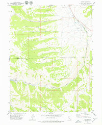
1979 Map of Colton
USGS Topo · Published 1979About this map
Industrial and recreational interests meet at the high-altitude junction of the Denver and Rio Grande Western railroad. The settlement of Colton serves as a focal point near the convergence of the White River and Price River, while the southern reaches of the map show the outskirts of Scofield and the Scofield Lake State Recreation Area. The landscape is marked by resource extraction and infrastructure, evidenced by Quarries, a Drill Hole, and scattered Prospects. High ridges like Joes Ridge separate drainage basins such as Spring Canyon and Woods Canyon. For those researching local development, the map traces various Jeep Trails and water sources like Sawmill Spring and Wing Spring that supported early activity in this part of Carbon and Utah counties.
Find a feature on this map
25 named features on this map. Tap any name to fly to it.
Don’t see what you’re looking for? This feature index may not catch every label — zoom into the map to look around manually.
Map Details
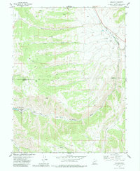
Editions of this 1979 Colton Map
2 editions found
Other maps of this area

1885 · Manti
USGS Topo · 1:250,000

1886 · Price River
USGS Topo · 1:250,000

1895 · Manti
USGS Topo · 1:250,000

1896 · Price River
USGS Topo · 1:250,000

1914 · Castle Gate
USGS Topo · 1:62,500

1916 · Castle Gate
USGS Topo · 1:62,500

1923 · Scofield
USGS Topo · 1:62,500

1925 · Scofield
USGS Topo · 1:62,500

1939 · Soldier Summit
USGS Topo · 1:62,500

1942 · Soldier Summit
USGS Topo · 1:62,500