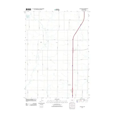
2012 Map of Colton SE
USGS Topo · Published 2012About this map
Skunk Cr meanders southward through this rural section of Minnehaha County, defining a landscape dominated by agricultural grid lines and small-scale aviation. The presence of Jensen Airport and Burk Cem provides specific points of interest for local historians and genealogists tracing early 21st-century landmarks. To the northwest, Anderson Slough marks a distinct natural break in the terrain, while the course of Willow Cr joins the larger drainage pattern. This survey reflects the persistent prairie road network, with numbered thoroughfares like 470th Ave and 250th St framing the townships. The transition from local gravel roads to major regional routes is evident as the Interstate corridor cuts through the eastern portion of the sheet near Big Sioux Rd.
Find a feature on this map
23 named features on this map. Tap any name to fly to it.
Don’t see what you’re looking for? This feature index may not catch every label — zoom into the map to look around manually.
Map Details
Editions of this 2012 Colton SE Map
This is the sole edition of this map. No revisions or reprints were ever made.
Other maps of this area

1955 · Sioux Falls
USGS Topo · 1:250,000

1958 · Sioux Falls
USGS Topo · 1:250,000

1962 · Colton SE
USGS Topo · 1:24,000

1962 · Dell Rapids
USGS Topo · 1:24,000

1962 · Renner
USGS Topo · 1:24,000

1962 · Hartford North
USGS Topo · 1:24,000

1962 · Crooks
USGS Topo · 1:24,000

1963 · Trent
USGS Topo · 1:24,000

1963 · Colman
USGS Topo · 1:24,000

1968 · Wentworth
USGS Topo · 1:24,000