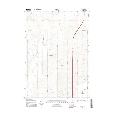
2015 Map of Colton SE
USGS Topo · Published 2015About this map
Skunk Cr and its tributaries wind through the agricultural landscape of the Coteau des Prairies in this upland region north of Baltic. This 2015 survey illustrates the modern rural infrastructure along the border of Moody and Minnehaha counties, defined by a rigid grid of section-line roads like 250th St and 470th Ave. Small-scale aviation and local history are anchored by Jensen Airport and the Burk Cem, which remain distinct landmarks amidst the surrounding fields. The corridor is dominated by Interstate 29, which bisects the eastern half of the map, contrasting the high-speed transit of the plains with the slower, established pace of the farmsteads and waterways like Willow Cr that have shaped local land use for generations.
Find a feature on this map
22 named features on this map. Tap any name to fly to it.
Don’t see what you’re looking for? This feature index may not catch every label — zoom into the map to look around manually.
Map Details
Editions of this 2015 Colton SE Map
This is the sole edition of this map. No revisions or reprints were ever made.
Other maps of this area

1955 · Sioux Falls
USGS Topo · 1:250,000

1958 · Sioux Falls
USGS Topo · 1:250,000

1962 · Colton SE
USGS Topo · 1:24,000

1962 · Dell Rapids
USGS Topo · 1:24,000

1962 · Renner
USGS Topo · 1:24,000

1962 · Hartford North
USGS Topo · 1:24,000

1962 · Crooks
USGS Topo · 1:24,000

1963 · Trent
USGS Topo · 1:24,000

1963 · Colman
USGS Topo · 1:24,000

1968 · Wentworth
USGS Topo · 1:24,000