
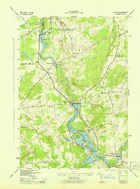
1943 Map of Colton
USGS Topo · Published 1957About this map
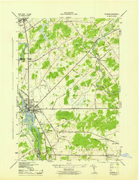
The Raquette River dominates this mid-century landscape of St. Lawrence County, charting a course through a series of hydroelectric impoundments and natural features. Significant development is concentrated at Colton and South Colton, while the surrounding terrain is defined by a dense network of early rural settlements and namesake corners. This survey captures the area just as the Higley Falls reservoir and Warm Brook Flow had established their modern footprints, creating a distinctive shoreline that contrasts with the upland ridges like Butternut Ridge.
Find a feature on this map
57 named features on this map. Tap any name to fly to it.
Don’t see what you’re looking for? This feature index may not catch every label — zoom into the map to look around manually.
Map Details
Editions of this 1943 Colton Map
2 editions found
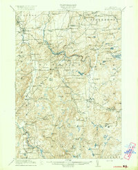
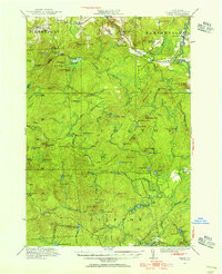
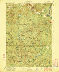
Other maps of this area

1908 · Potsdam
USGS Topo · 1:62,500

1910 · Canton
USGS Topo · 1:62,500

1911 · Canton
USGS Topo · 1:62,500

1915 · Russell
USGS Topo · 1:62,500
1918 · Russell
USGS Topo · 1:62,500
1921 · Stark
USGS Topo · 1:62,500
1923 · Stark
USGS Topo · 1:62,500

1940 · Stark
USGS Topo · 1:62,500

1942 · Long Bow
USGS Topo · 1:24,000
1943 · Potsdam
USGS Topo · 1:31,680