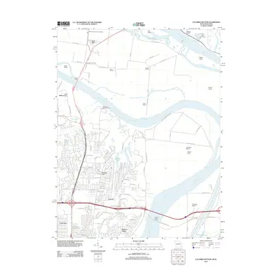
2012 Map of Columbia Bottom
USGS Topo · Published 2012About this map
The confluence of the Mississippi River and the Missouri River dominates this 2012 landscape, where the shifting waters have carved a complex network of islands and sloughs. Near the northern boundary, West Alton sits positioned between the two great rivers, supported by landmarks like the West Alton Post Office and the Immaculate Conception Cemetery. To the south, the suburban expansion of St. Louis County is evident in organized communities such as Spanish Lake, Glasgow Village, and Castle Point, while the industrial and agricultural heritage of the region persists at the City of Saint Louis Bellefontaine Farm.
Find a feature on this map
112 named features on this map. Tap any name to fly to it.
Don’t see what you’re looking for? This feature index may not catch every label — zoom into the map to look around manually.
Map Details
Editions of this 2012 Columbia Bottom Map
This is the sole edition of this map. No revisions or reprints were ever made.
Other maps of this area

1888 · St. Louis
USGS Topo · 1:62,500

1927 · Alton
USGS Topo · 1:62,500

1927 · St. Charles
USGS Topo · 1:62,500

1933 · Granite City
USGS Topo · 1:24,000

1933 · Clayton
USGS Topo · 1:24,000

1933 · Saint Charles
USGS Topo · 1:62,500

1934 · Alton
USGS Topo · 1:62,500

1935 · Granite City
USGS Topo · 1:24,000

1935 · Florissant
USGS Topo · 1:24,000

1935 · Monks Mound
USGS Topo · 1:24,000