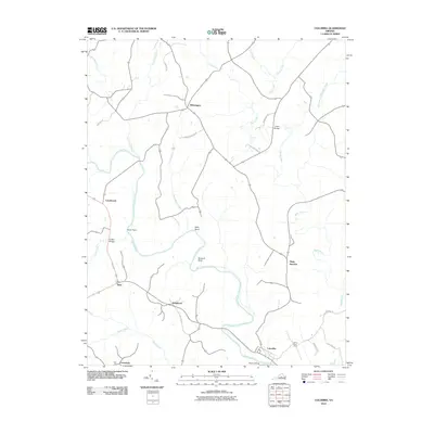
2010 Map of Columbia
USGS Topo · Published 2010About this map
Point of Fork marks the strategic confluence where the Rivanna River meets the James River near the historic town of Columbia. This 2010 survey illustrates a rural landscape defined by a network of winding waterways and legacy roads that connect small communities such as Wilmington, Stage Junction, and Holmhead. The terrain is punctuated by distinctive natural landmarks like Buzzard Rock and the sharp turn of Hells Bend, alongside family-named crossings including Cosby Bridge and Griffin Bridge. Agricultural roots remain evident through the presence of James River Farms and various lane names like Gale Hill Rd. The map tracks the traditional movement of people and goods across Fluvanna County, showcasing how contemporary developments integrate with long-standing settlements like Cloverdale and Dixie along the county's southern boundary.
Find a feature on this map
33 named features on this map. Tap any name to fly to it.
Don’t see what you’re looking for? This feature index may not catch every label — zoom into the map to look around manually.
Map Details
Editions of this 2010 Columbia Map
This is the sole edition of this map. No revisions or reprints were ever made.
Other maps of this area

1891 · Palmyra
USGS Topo · 1:125,000

1895 · Palmyra
USGS Topo · 1:125,000

1897 · Palmyra
USGS Topo · 1:125,000

1943 · Scottsville
USGS Topo · 1:62,500

1946 · Scottsville
USGS Topo · 1:62,500

1947 · Roanoke
USGS Topo · 1:250,000

1950 · Dillwyn
USGS Topo · 1:62,500

1958 · Dillwyn
USGS Topo · 1:62,500

1959 · Roanoke
USGS Topo · 1:250,000

1960 · Columbia
USGS Topo · 1:62,500