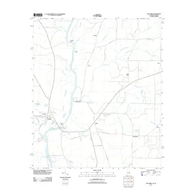
2011 Map of Columbia
USGS Topo · Published 2011About this map
The Chattahoochee River defines the western edge of this landscape, serving as the border between Alabama and Georgia. The town of Columbia stands as the primary hub, where the Columbia Bridge provides a critical crossing near the Columbia State Dock and the Columbia Post Office. Along the river's winding path, historical riverfront points such as Freeman Landing and Freeman Bend reflect the area’s longstanding connection to waterborne transport and local commerce.
Find a feature on this map
57 named features on this map. Tap any name to fly to it.
Don’t see what you’re looking for? This feature index may not catch every label — zoom into the map to look around manually.
Map Details
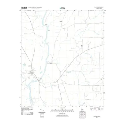
Editions of this 2011 Columbia Map
2 editions found
Other maps of this area

1953 · Dothan
USGS Topo · 1:250,000

1954 · Dothan
USGS Topo · 1:250,000

1955 · Dothan
USGS Topo · 1:250,000

1970 · Gordon
USGS Topo · 1:24,000

1970 · Columbia NE
USGS Topo · 1:24,000

1970 · Haleburg
USGS Topo · 1:24,000

1970 · Sigma
USGS Topo · 1:24,000

1970 · Columbia
USGS Topo · 1:24,000
1970 · Ashford
USGS Topo · 1:24,000

1973 · Blakely North
USGS Topo · 1:24,000