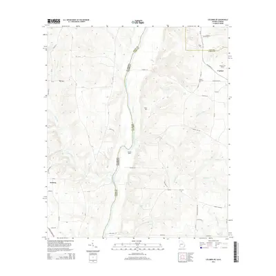
2014 Map of Columbia NE
USGS Topo · Published 2014About this map
The Chattahoochee River defines the border between Henry County, Alabama, and Early County, Georgia, in this 2014 survey. The river's path is marked by significant geographic features like Smith Bend and River Hill, reflecting the winding waterway's impact on local topography. The Alabama side is anchored by the community of Haleburg, while the Georgia side features smaller settlements such as Urquhart and scattered family aviation sites like Sawyer Farm Airport.
Find a feature on this map
68 named features on this map. Tap any name to fly to it.
Don’t see what you’re looking for? This feature index may not catch every label — zoom into the map to look around manually.
Map Details
Editions of this 2014 Columbia NE Map
This is the sole edition of this map. No revisions or reprints were ever made.
Other maps of this area

1953 · Dothan
USGS Topo · 1:250,000

1954 · Dothan
USGS Topo · 1:250,000

1955 · Dothan
USGS Topo · 1:250,000

1969 · Fort Gaines
USGS Topo · 1:24,000

1969 · Abbeville East
USGS Topo · 1:24,000

1970 · Columbia NE
USGS Topo · 1:24,000

1970 · Haleburg
USGS Topo · 1:24,000

1970 · Sigma
USGS Topo · 1:24,000

1970 · Columbia
USGS Topo · 1:24,000

1973 · Blakely North
USGS Topo · 1:24,000