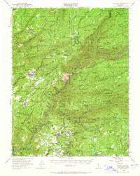
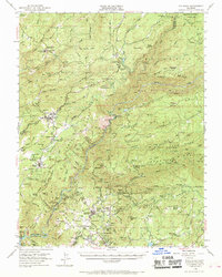
1948 Map of Columbia
USGS Topo · Published 1965About this map
Columbia Historic State Park preserves the townscape of the gold rush era, shown here during its late 1940s status alongside the neighboring settlement of Springfield. This region of the Mother Lode is densely packed with mid-century mining operations and geological landmarks, including the Sheep Ranch Mine, Marble Quarries, and the depths of Moaning Caves. The landscape is defined by the steep descent of the South Fork Stanislaus River, which powered industrial sites like the Stanislaus Powerhouse. To the north, Calaveras Big Trees State Park and the Stanislaus National Forest dominate the high ground above Hathaway Pines. This survey captures the transition from a traditional hard-rock mining economy to one of conservation and early tourism, with the Sierra RR and Columbia Airport providing critical transportation links to the surrounding Calaveras Co and Tuolumne Co communities.
Find a feature on this map
126 named features on this map. Tap any name to fly to it.
Don’t see what you’re looking for? This feature index may not catch every label — zoom into the map to look around manually.
Map Details
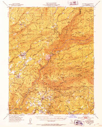
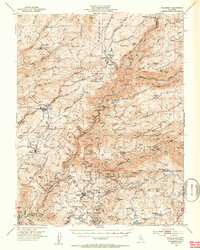
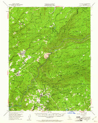
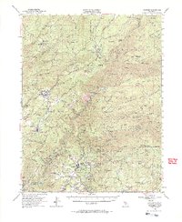
Editions of this 1948 Columbia Map
6 editions found
Other maps of this area

1889 · Jackson
USGS Topo · 1:125,000

1891 · Big Trees
USGS Topo · 1:125,000

1892 · Jackson
USGS Topo · 1:125,000

1893 · Sonora
USGS Topo · 1:125,000

1894 · Big Trees
USGS Topo · 1:125,000

1896 · Sonora
USGS Topo · 1:125,000

1897 · Jackson
USGS Topo · 1:125,000

1897 · Sonora
USGS Topo · 1:125,000

1897 · Big Trees
USGS Topo · 1:125,000

1898 · Sonora
USGS Topo · 1:125,000