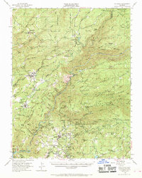
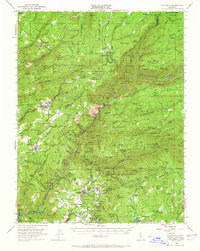
1948 Map of Columbia
USGS Topo · Published 1969About this map
Columbia Historic State Park anchors this look at the Gold Country during the late 1940s, a period when the deep-vein mining industry was being eclipsed by modern forestry and power generation. The map details an incredible density of lode mines and quarries, such as the Sheep Ranch Mine and various Marble Quarries, which reflect the region's hard-rock extraction legacy. Water management systems like the Utica Ditch and the Phoenix Powerhouse indicate how the landscape's industrial focus shifted toward electricity and utility. Settlements such as Murphys, Vallecito, and Yankee Hill are depicted alongside local landmarks like the Bret Harte Sanatorium. To the north and east, the Stanislaus National Forest and Calaveras Big Trees State Park define the transition into the high timber of the Sierra Nevada.
Find a feature on this map
115 named features on this map. Tap any name to fly to it.
Don’t see what you’re looking for? This feature index may not catch every label — zoom into the map to look around manually.
Map Details
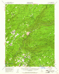
Editions of this 1948 Columbia Map
6 editions found
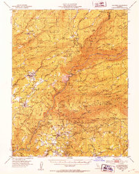
Other maps of this area

1889 · Jackson
USGS Topo · 1:125,000

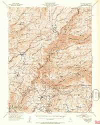
1891 · Big Trees
USGS Topo · 1:125,000

1892 · Jackson
USGS Topo · 1:125,000

1893 · Sonora
USGS Topo · 1:125,000

1894 · Big Trees
USGS Topo · 1:125,000

1896 · Sonora
USGS Topo · 1:125,000

1897 · Jackson
USGS Topo · 1:125,000

1897 · Sonora
USGS Topo · 1:125,000

1897 · Big Trees
USGS Topo · 1:125,000

1898 · Sonora
USGS Topo · 1:125,000