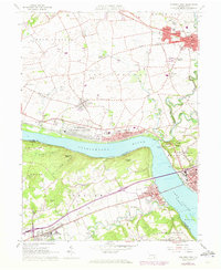
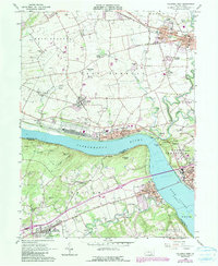
1964 Map of Columbia West
USGS Topo · Published 1973About this map
The Susquehanna River and Lake Clarke divide this landscape, where the industry and infrastructure of the early 1960s are clearly visible. Along the northern bank, the Penn Central railroad serves the riverfront communities of Marietta and Columbia, while the expansive Marietta Air Force Station occupies a significant portion of the river plain. Further inland, the map captures a period of suburban and educational growth, evidenced by the development of Donegal Heights and the location of Donegal High Sch near Mount Joy. South of the river, the Hellam Hills rise steeply, sheltering smaller settlements like Highmount and the riverside hamlet of Accomac. The presence of the Elizabeth-Marietta Airport and numerous rural institutions, such as Kraybill Sch and Donegal Springs, illustrates the mix of agricultural heritage and mid-century modern utility.
Find a feature on this map
74 named features on this map. Tap any name to fly to it.
Don’t see what you’re looking for? This feature index may not catch every label — zoom into the map to look around manually.
Map Details
Editions of this 1964 Columbia West Map
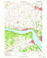
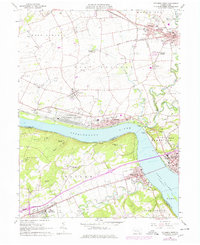
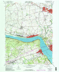
5 editions found
Other maps of this area

1902 · Lancaster
USGS Topo · 1:62,500

1904 · Lancaster
USGS Topo · 1:62,500

1908 · Middletown
USGS Topo · 1:62,500

1908 · York
USGS Topo · 1:62,500

1910 · York
USGS Topo · 1:62,500

1912 · Mc Calls Ferry
USGS Topo · 1:62,500

1943 · Lancaster
USGS Topo · 1:62,500

1943 · Middletown
USGS Topo · 1:62,500

1943 · Mc Calls Ferry
USGS Topo · 1:62,500

1948 · Baltimore
USGS Topo · 1:250,000