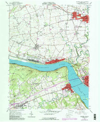
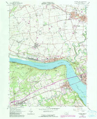
1964 Map of Columbia West
USGS Topo · Published 1990About this map
The Susquehanna River cuts a wide path through this mid-1960s landscape, separating the riverfront communities of Marietta and Columbia on the east bank from Wrightsville and the Hellam Hills to the west. This river-and-rail corridor, dominated by the Conrail lines along both shores, shows a sophisticated network of industrial and transport infrastructure. To the north, the terrain transitions into the agricultural plains of West Donegal and Rapho townships, where the historic Donegal Springs and its nearby Donegal Springs Airpark are established. Local landmarks like Chickies Rock and Buzzards Roost overlook the water, while interior settlements such as Maytown and Mount Joy anchor the region's inland road network. Genealogists will find notable burial sites including Donegal Cem and Strickler Cem, alongside community centers like the Donegal High Sch and several country churches.
Find a feature on this map
70 named features on this map. Tap any name to fly to it.
Don’t see what you’re looking for? This feature index may not catch every label — zoom into the map to look around manually.
Map Details
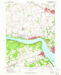
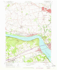
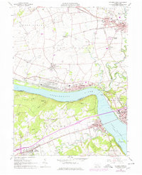
Editions of this 1964 Columbia West Map
5 editions found
Other maps of this area

1902 · Lancaster
USGS Topo · 1:62,500

1904 · Lancaster
USGS Topo · 1:62,500

1908 · Middletown
USGS Topo · 1:62,500

1908 · York
USGS Topo · 1:62,500

1910 · York
USGS Topo · 1:62,500

1912 · Mc Calls Ferry
USGS Topo · 1:62,500

1943 · Lancaster
USGS Topo · 1:62,500

1943 · Middletown
USGS Topo · 1:62,500

1943 · Mc Calls Ferry
USGS Topo · 1:62,500

1948 · Baltimore
USGS Topo · 1:250,000