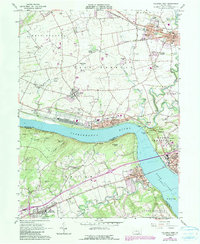
1964 Map of Columbia West
USGS Topo · Published 1990About this map
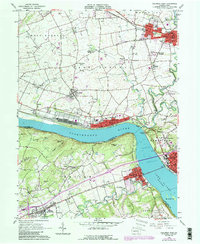
The Susquehanna River dominates this landscape, carved into a wide channel where Lake Clarke forms behind southern dams. Along the northern banks, the industrial and transport corridor of the Penn Central and Reading Railroad links historic river towns like Marietta and Columbia, where the street grids reflect a dense 19th-century settlement pattern. Further inland, the map captures the transition to the fertile agriculture of Lancaster and York Counties, dotted with family cemeteries such as Strickler Cem and local landmarks like the Donegal Springs Airpark.
Find a feature on this map
73 named features on this map. Tap any name to fly to it.
Don’t see what you’re looking for? This feature index may not catch every label — zoom into the map to look around manually.
Map Details
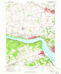
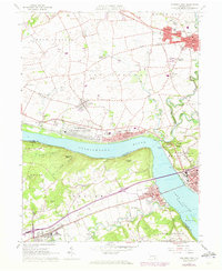
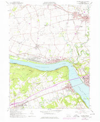
Editions of this 1964 Columbia West Map
5 editions found
Other maps of this area

1902 · Lancaster
USGS Topo · 1:62,500

1904 · Lancaster
USGS Topo · 1:62,500

1908 · Middletown
USGS Topo · 1:62,500

1908 · York
USGS Topo · 1:62,500

1910 · York
USGS Topo · 1:62,500

1912 · Mc Calls Ferry
USGS Topo · 1:62,500

1943 · Lancaster
USGS Topo · 1:62,500

1943 · Middletown
USGS Topo · 1:62,500

1943 · Mc Calls Ferry
USGS Topo · 1:62,500

1948 · Baltimore
USGS Topo · 1:250,000