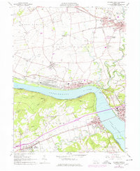
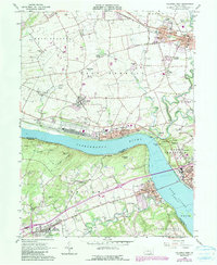
1964 Map of Columbia West
USGS Topo · Published 1978About this map
The Susquehanna River cuts a wide path through this portion of Lancaster and York counties, anchored by the industrial and transit hubs of Marietta and Wrightsville. At the river's bend, the massive Marietta Air Force Station occupies a significant footprint along the northern bank, adjacent to the Penn Central rail lines. This corridor was a vital logistics point, where the river narrows between Chickies Rock and the high ground of the Hellam Hills.
Find a feature on this map
67 named features on this map. Tap any name to fly to it.
Don’t see what you’re looking for? This feature index may not catch every label — zoom into the map to look around manually.
Map Details
Editions of this 1964 Columbia West Map
5 editions found
Other maps of this area

1902 · Lancaster
USGS Topo · 1:62,500

1904 · Lancaster
USGS Topo · 1:62,500

1908 · Middletown
USGS Topo · 1:62,500

1908 · York
USGS Topo · 1:62,500

1910 · York
USGS Topo · 1:62,500

1912 · Mc Calls Ferry
USGS Topo · 1:62,500

1943 · Lancaster
USGS Topo · 1:62,500

1943 · Middletown
USGS Topo · 1:62,500

1943 · Mc Calls Ferry
USGS Topo · 1:62,500

1948 · Baltimore
USGS Topo · 1:250,000