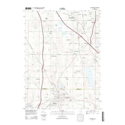
2013 Map of Columbiana
USGS Topo · Published 2013About this map
Columbiana and the rural communities along the Mahoning County and Columbiana County border are depicted here in 2013, showing a landscape defined by small-town centers and a network of early religious settlements. The area around North Lima and East Lewistown is dotted with numerous denominational burying grounds, including the N Lima Mennonite Cem and Good Hope Lutheran Cem, reflecting the deep sectarian roots of these agricultural townships.
Find a feature on this map
121 named features on this map. Tap any name to fly to it.
Don’t see what you’re looking for? This feature index may not catch every label — zoom into the map to look around manually.
Map Details
Editions of this 2013 Columbiana Map
This is the sole edition of this map. No revisions or reprints were ever made.
Other maps of this area

1906 · Youngstown
USGS Topo · 1:62,500

1907 · Columbiana
USGS Topo · 1:62,500

1908 · Youngstown
USGS Topo · 1:62,500

1908 · Warren
USGS Topo · 1:62,500

1909 · Lisbon
USGS Topo · 1:62,500

1909 · Columbiana
USGS Topo · 1:62,500

1950 · Cleveland
USGS Topo · 1:250,000

1951 · Canton
USGS Topo · 1:250,000

1951 · Columbiana
USGS Topo · 1:24,000

1951 · Campbell
USGS Topo · 1:24,000