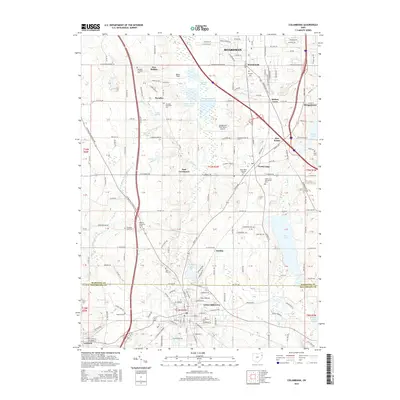
2016 Map of Columbiana
USGS Topo · Published 2016About this map
Columbiana and North Lima anchor this corridor of northeast Ohio, where the grid of Fairfield Township meets the suburbs south of Boardman. The landscape is a mix of small-town residential blocks and agricultural tracts, marked by a high density of religious heritage sites. Numerous burial grounds, including the North Lima Mennonite Cem, Midway Mennonite Cem, and Paradise Reformed Cem, speak to the deep Mennonite and Lutheran roots of the local community.
Find a feature on this map
67 named features on this map. Tap any name to fly to it.
Don’t see what you’re looking for? This feature index may not catch every label — zoom into the map to look around manually.
Map Details
Editions of this 2016 Columbiana Map
This is the sole edition of this map. No revisions or reprints were ever made.
Other maps of this area

1906 · Youngstown
USGS Topo · 1:62,500

1907 · Columbiana
USGS Topo · 1:62,500

1908 · Youngstown
USGS Topo · 1:62,500

1908 · Warren
USGS Topo · 1:62,500

1909 · Lisbon
USGS Topo · 1:62,500

1909 · Columbiana
USGS Topo · 1:62,500

1950 · Cleveland
USGS Topo · 1:250,000

1951 · Canton
USGS Topo · 1:250,000

1951 · Columbiana
USGS Topo · 1:24,000

1951 · Campbell
USGS Topo · 1:24,000