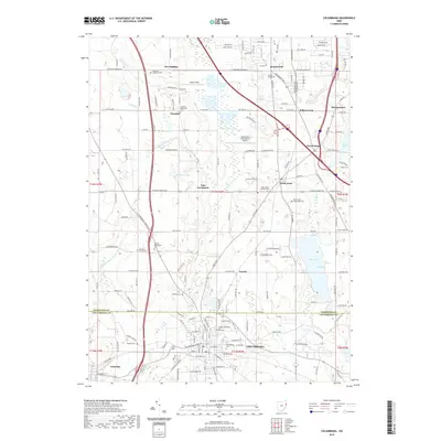
2019 Map of Columbiana
USGS Topo · Published 2019About this map
Columbiana sits at the southern edge of this landscape where the borders of Mahoning and Columbiana Counties meet. The terrain is defined by a dense network of country roads and local crossroads settlements like East Lewistown, North Lima, and Paradise. Large bodies of water including Pine Lake and Wildwood Lake break up the agricultural and residential patterns, while specialized land uses such as the Youngstown Elser Metro Airport and Tri-State College indicate the modern infrastructure of the region.
Find a feature on this map
103 named features on this map. Tap any name to fly to it.
Don’t see what you’re looking for? This feature index may not catch every label — zoom into the map to look around manually.
Map Details
Editions of this 2019 Columbiana Map
This is the sole edition of this map. No revisions or reprints were ever made.
Other maps of this area

1906 · Youngstown
USGS Topo · 1:62,500

1907 · Columbiana
USGS Topo · 1:62,500

1908 · Youngstown
USGS Topo · 1:62,500

1908 · Warren
USGS Topo · 1:62,500

1909 · Lisbon
USGS Topo · 1:62,500

1909 · Columbiana
USGS Topo · 1:62,500

1950 · Cleveland
USGS Topo · 1:250,000

1951 · Canton
USGS Topo · 1:250,000

1951 · Columbiana
USGS Topo · 1:24,000

1951 · Campbell
USGS Topo · 1:24,000